
 Feeds & Data
M1.3 – Southern California
Wednesday, January 14, 2009 at 19:55:24 UTC
Wednesday, January 14, 2009 at 11:55:24 UTC-8
Wednesday, January 14, 2009 at 11:55:24 UTC-8

35.04°N 118.37°W
Depth: 0km


| Location | MMI | Resp. | Distance | Latitude | Longitude |
|---|---|---|---|---|---|
| RIVERSIDE | 2 | 1 | 154 | 33.93°N | 117.36°W |
| RIVERSIDE | 2 | 1 | 152 | 33.97°N | 117.33°W |
| RIDGECREST | 2 | 1 | 110 | 35.69°N | 117.45°W |
- City mapJPG | PDF | PSMap of responses by city or ZIP code
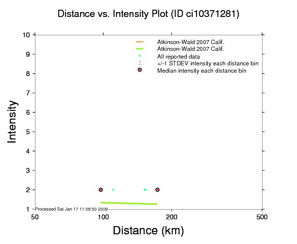
- Intensity vs. DistanceJPG | PSPlot of Attenuation (fall-off) with distance for each intensity versus its distance from the epicenter
- Responses vs. TimeJPG | PSPlot of total number of responses since the event
- Product ListXMLList of available DYFI maps and data for this event
- Intensity SummaryTXT | XMLTable of intensities aggregated by city or ZIP code
