INCIDENT INFORMATION ...
 
PREDICTIVE SERVICES
  Intelligence
  Weather
  Fuels/Fire Danger
  Outlooks
   
LOGISTICS / DISPATCH
  Aviation
  Crews
   
ADMINISTRATIVE
  California Wildfire Coordination Group
  Policy and Reports
  Incident Business Practices
  Safety Management
  Software Applications
  Training
   
RELATED LINKS
[graphic] Color Curve
  Predictive Services LogoONCC weather
The weather unit acts as the local meteorological consultant for Northern California Geographic Area Coordination Center and provides daily fire season weather briefings, regional fire weather and other forecasts and services.

 
CURRENT CONDITIONS
OBSERVATIONS
ROMAN
  NWS Real Time Weather Data
  NorCal Hourly Weather Roundup
  Current US Surface Map
24-Hour Weather Change (ROMAN)
WIMS (and other FAMWeb Applications)
RAWS
  ROMAN RAWS List
  Weather Near Fires
  RAWS Map (Northern California)
  RAWS Information Home Page
SATELLITE
  GOES Satellite Page
  Current Visible Image - 1 km
  NWS Eureka Satellite Page
RADAR
  Radar Integrated Display
  Radar Composite - Intellicast
LIGHTNING
  BLM Lightning (Password Required)
 
SNOW / PRECIPITATION DATA
  SNOTEL / Snow Reports By State (NRCS)
  Monthly Precipitation Maps
  Seasonal Precipitation Maps
  Seasonal Outlook
  Standardized Precipitation Index (SPI)
  7-Day Pct of Normal
  14-Day Pct of Normal
  28-Day Pct of Normal
  Water Year Pct of Normal
  Climate Anomaly Table
  Western Water Supply
  CA-NV River Forecast Center Data
 
CLIMATE PREDICTION CENTER OUTLOOKS (CPC)
  6-10 Day Temperature Outlook
  6-10 Day Precipitation Outlook
  8-14 Day Temperature Outlook
  8-14 Day Precipitation Outlook
  6-14 Day Technical Discussion
  30-Day Temperature Outlook
  30-Day Precipitation Outlook
  90-Day Temperature Outlook
  90-Day Precipitation Outlook
  Monthly/Seasonal Technical Discussion
  El Nino/La Nina Technical Discussion
  All CPC Outlook Products
   
SMOKE MONITORING
  North Ops Smoke Dispersion Outlook
Emergency Smoke Response System - NEW
  Air Quality Management Information System
  Cal. Air Resources Board (CARB) Meteorology
  Real-time Smoke Monitoring State Air Quality
  Western Regional Partnership
SOUNDINGS
  Salem, OR
  Medford, OR
  Oakland, CA
  Reno, NV
  Elko, NV
  Vandenberg, CA
  Edwards AFB, CA
  Desert Rock, NV
 
WEATHER FORECAST MODELS
  MM5 CANSAC (CEFA/DRI)
  NWS Model Page
  Nexlab
  Golden Gate Weather
   
GACC PRODUCTS
7 Day Significant Fire Potential
North Ops Daily Weather Outlook

North Ops Smoke Dispersion Outlook

7 Day Project Activity Level (PAL) Projection
Outlooks
Request a Spot Forecast
Fire Weather Products Summary
2008 Fire Weather Annual Operating Plan
 
NATIONAL WEATHER SERVICE

NWS CA Daily Fire Weather Forecast (ECCDAs)

Forecast Office Websites
Daily Forecast/Watches/Warnings
SPC Fire Weather Page
 
NWS FIRE WEATHER OFFICES
  Medford
  Eureka
  Reno
  Sacramento
  Monterey
  Hanford
SPOT FORECASTS
  Medford
  Eureka
  Reno
  Sacramento
  Monterey
  Hanford
TECHNICAL DISCUSSIONS
  Medford
  Eureka
  Reno
  Sacramento
  Monterey
  Hanford
  National Extended Forecast Discussion
  National Precipitation Forecast Discussion
  National Excessive Precipitation Discussion
   
CLIMATOLOGY / DROUGHT
  Climate Prediction Center (CPC)
  Hydrometeorological Prediction Center (HPC)
  Regional Climate Centers Map
 

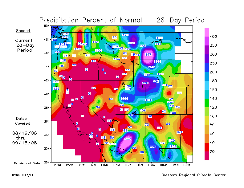
Western Region Climate Center (WRCC)

Climate, Ecosystem, and Fire (CEFA)
  United States Climatologies
  Climate Mapping with Prism
 
  Palmer Drought Index (PDI)
  CEFA Assessment Products
  Keetch/Byram Drought Index (KBDI)
  El Nino / La Nina
  Haines Index Map
   
COMMON TOOLS FOR FORECASTERS
  NWS Forecast Products
  Weather Maps
  Selected RAWS Normals
  RAWS Summaries
  Climate Resources
  NWS Fire Weather Forecast Quick Look
   
OTHER
  National Hurricane Center
 
 
[Graphic] - Your First Click to the Federal Government Website

home | about | disclaimer | contact us

Northern California Geographic Area Coordination Center
6101 Airport Road
Redding, CA 96002
530.226.2800