 |
Tar
Basin AHPS Project
 |
Inundation
Maps for Tar River Basin from USGS
|
|
|
|
|
|
|
|
|
|
|
|
|
|
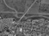
Greenville,
NC (PGVN7) on the Tar River |
|
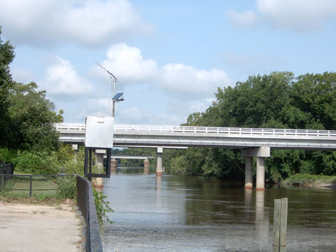
Tar River at Greenville, NC. Looking
upstream from the right bank. The USGS gaging structure is the
aluminum box attached to the wall along the river. The
satellite antenna is mounted on the top. River stage here was
3.05 ft.
360 Deg Panoramic
Movie
(.mov/4mb)
Right-Click and Select "Save Target as..".
|
|
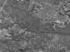
Aerial Photos |
 |
 |
| |
|
|
|
|
About AHPS |
|
The Advanced Hydrologic
Prediction Services (or AHPS for short) is a congressionally funded
service improvement program that allows us to incrementally introduce new
products and services across the country. The goals of AHPS are to:
-
Produce more accurate
products incorporating advanced hydrologic science into our models.
-
Provide more specific
and timely information on fast-rising floods with increased lead time.
-
Create easier to use
products in new formats, including graphics.
-
Create information
useful in assessing risk to flooding including forecast probability.
-
Provide products with
forecast horizons for two weeks into the future and beyond.
-
Increase the
distribution of products using advanced information technologies (e.g.
Internet) therefore, providing broader and more timely access and
delivery of information.
-
Expand outreach and
engage partners and customers in all aspects of hydrologic product
improvement.
For more information, see
the AHPS
full color brochure
or our
Concepts of Service
and Operations page.
|