|
|
Country: | United Kingdom | |
| Subregion Name: | West Indies | ||
| Volcano Number: | 1600-05= | ||
| Volcano Type: | Stratovolcano | ||
| Volcano Status: | Historical | ||
| Last Known Eruption: | 2008 | ||
| Summit Elevation: | 915 m | 3,002 feet | |
| Latitude: | 16.72°N | 16°43'0"N | |
| Longitude: | 62.18°W | 62°11'0"W | |
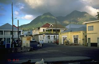
| The complex, dominantly andesitic Soufrière Hills volcano occupies the southern half of the island of Montserrat. The summit area consists primarily of a series of lava domes emplaced along an ESE-trending zone. English's Crater, a 1-km-wide crater breached widely to the east, was formed during an eruption about 4000 years ago in which the summit collapsed, producing a large submarine debris avalanche. Block-and-ash flow and surge deposits associated with dome growth predominate in flank deposits at Soufrière Hills. Non-eruptive seismic swarms occurred at 30-year intervals in the 20th century, but with the exception of a 17th-century eruption that produced the Castle Peak lava dome, no historical eruptions were recorded on Montserrat until 1995. Long-term small-to-moderate ash eruptions beginning in that year were later accompanied by lava-dome growth and pyroclastic flows that forced evacuation of the southern half of the island and ultimately destroyed the capital city of Plymouth, causing major social and economic disruption. | |||