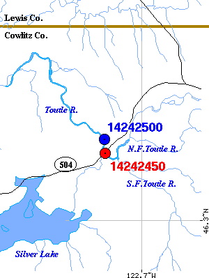
Latitude (degrees, minutes, and seconds) ......  461953
Longitude (degrees, minutes, and seconds) .....  1224330
State Code ....................................  53
County Code ...................................  015
County Name ...................................  Cowlitz
Basin Name ....................................  Lower Cowlitz
Hydrologic Unit Code ..........................  17080005
Drainage Area (square miles) ..................
Gage Datum (feet, from ?) .....................
Return to:
[
Mount St. Helens Hydrologic Stations - Menu] ...
[
Mount St. Helens Hydrology - Menu] ...
[
Mount St. Helens Monitoriing - Menu] ...
[
Mount St. Helens - General Menu] ...
