to the National Atlas Home page
About | Contact Us | Partners | Products | Site Map | FAQ | Help 
AgricultureBiologyBoundariesClimateEnvironmentGeologyGovernmentHistoryMappingPeopleTransportationWater
to the Interactive Map MakerMap LayersPrintable MapsWall MapsDynamic MapsArticlesMapping Professionals


Mapping
Map Layers
North American Atlas - Populated Places

Boundaries
Map Layers
North American Atlas – Political Boundaries

Geology
Map Layers
North American Atlas – Bathymetry

Transportation
Map Layers
North American Atlas – Railroads
North American Atlas – Roads

Water
Map Layers
North American Atlas – Glaciers
North American Atlas – Hydrography
North American Atlas – Sea Ice


Article

  Harmonized Frameworks for North America Are Here

downFrameworks
downMap Layers
downPartners


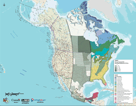
In June 2004, a small-scale map of North America was released at the 11th regular session of the Commission for Environmental Cooperation (CEC) in Puebla, Mexico. This accurate and authoritative view of North America was made using a set of basic map information provided by national atlas programs in Canada, Mexico, and the United States. Now the framework raw data that was used to produce this map is available from nationalatlas.gov.

North America map showing framework layers with thematic overlays

  back to top
  Frameworks
 

North America map showing framework layers along the Mexico and United States border
North America map showing framework layers along the Mexico and United States border.

"Frameworks" are the basic foundation "layers" found in any map. North American framework map layers include populated places, political boundaries, hydrography, roads, railroads, ocean depths (bathymetry), glaciers, and sea ice. The staff of the National Atlas has worked in partnership with the Mexican National Institute of Statistics, Geography, and Geomatics (Instituto Nacional de Estadística Geografía e Informática - INEGI) and the Atlas of Canada to produce these accurate and reliable map layers that cover all of North America. All map layers have been "harmonized" at international borders so that their attributes are consistent and so that geometric accuracy is ensured at a scale of 1:10,000,000. They are designed for those who need to visualize and analyze continental phenomena and issues such as air quality, energy management, transportation, trade, and biodiversity conservation. Any map information outside of Canada, Mexico, and the United States contained in these map layers is included solely to provide geographic context.

North America map showing framework layers along the Canadian and United States border
Map layers along the Canadian and United States border.
The North American framework data are designed to form the foundation for new integrated thematic maps that illustrate cross-border conditions, challenges, and opportunities. The CEC has already used these framework data to produce a continental-scale map that identifies 28 high-priority West Coast protection areas, mapped by marine ecoregions. A copy of this map is included in the CEC publication, "Marine Priority Conservation Areas, Baja California to the Bering Sea." A map layer that depicts North American watersheds will be jointly published later in 2006.

  back to top
  Map Layers
 

North America map showing Glaciers and Bathymetry near Baffin Bay
North America map showing Glaciers and Bathymetry near Baffin Bay.
Each nation is maintaining its own data and these map layers are also available from INEGI and the Atlas of Canada. All map layers are documented in compliance with national and international standards for geospatial metadata. All frameworks raw data and documentation are available to you at no cost. Follow these links to our Raw Data Download table.

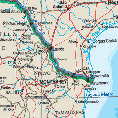
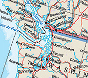
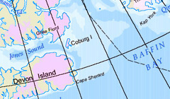
Boundaries: Political Boundaries
Geology: Bathymetry
Map Reference: Populated Places
Transportation: Railroads, Roads
Water: Glaciers, Sea Ice, Hydrography (this last map layer includes shorelines)

  back to top
  Partners
 
  back to top