
Aerial Watershed Photos
|
Click on the links below to see additional aerial photos for each county.
For information on other aerial photo atlases, see below. |
|
| Beaver County |  |
| Box Elder County |  |
| Cache County |  |
 |
|
| Daggett County | 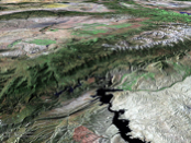 |
| Davis County | 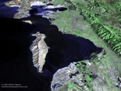 |
| Duchesne County |  |
| Emery County |  |
| Garfield County |  |
| Grand County | 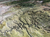 |
| Iron County |  |
| Juab County |  |
| Kane County | 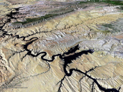 |
| Millard County |  |
| Morgan County | 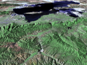 |
| Piute County |  |
| Rich County | 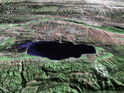 |
| Salt Lake County |  |
| San Juan County | 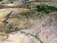 |
| Sanpete County |  |
| Sevier County |  |
| Summit County |  |
| Tooele County |  |
| Uintah County |  |
| Utah County |  |
| Wasatch County |  |
| Washington County |  |
| Wayne County | 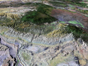 |
| Weber County |  |
Images created by Dr. William A. Bowen (william.bowen@csun.edu) and provided as a courtesy to the people of Utah.
- World Atlas of Panoramic Aerial Images
- Alaska Atlas of Panoramic Aerial Images
- Arizona Atlas of Panoramic Aerial Images
- California Atlas of Panoramic Aerial Images
- Hawaii Atlas of Panoramic Aerial Images
- Nevada Atlas of Panoramic Aerial Images
- Oregon Atlas of Panoramic Aerial Images
- Washington Atlas of Panoramic Aerial Images
© Copyright Utah State University Extension, 2009. All Rights Reserved.