
 |
 |
| CURRENT TIME (based on your computer's time): | |
GOES Floaters Quick-Link |
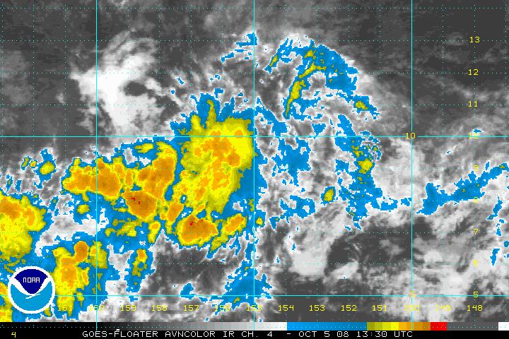
Not Active
|
Not Active
|
Not Active
|
Not Active
|
MTSAT Floaters |
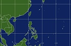
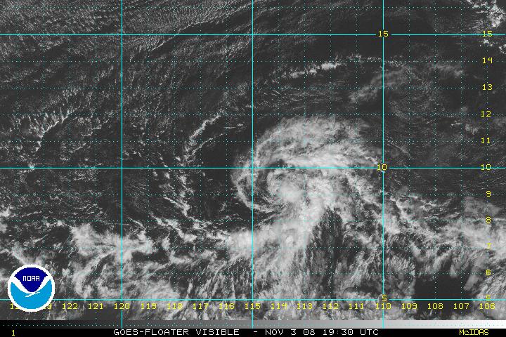
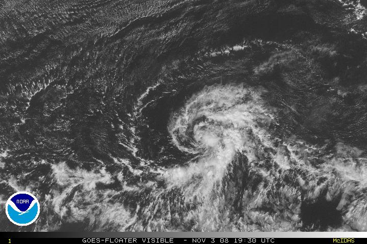
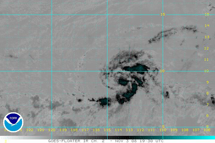
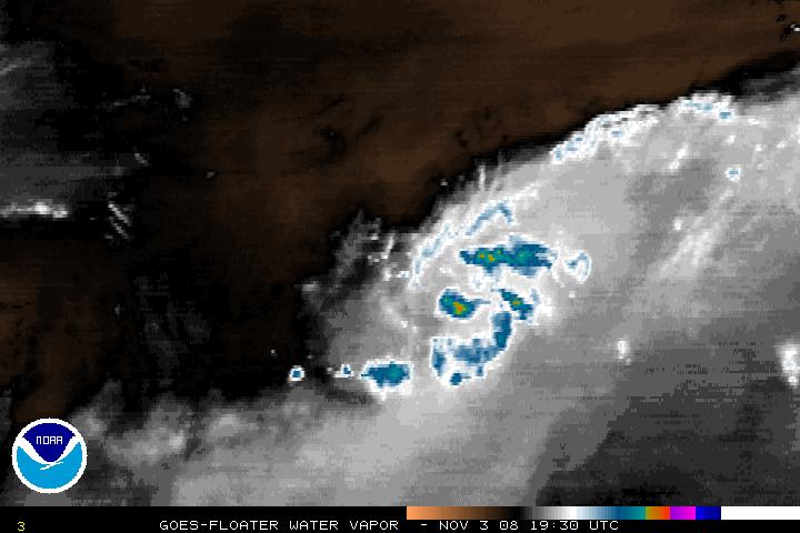
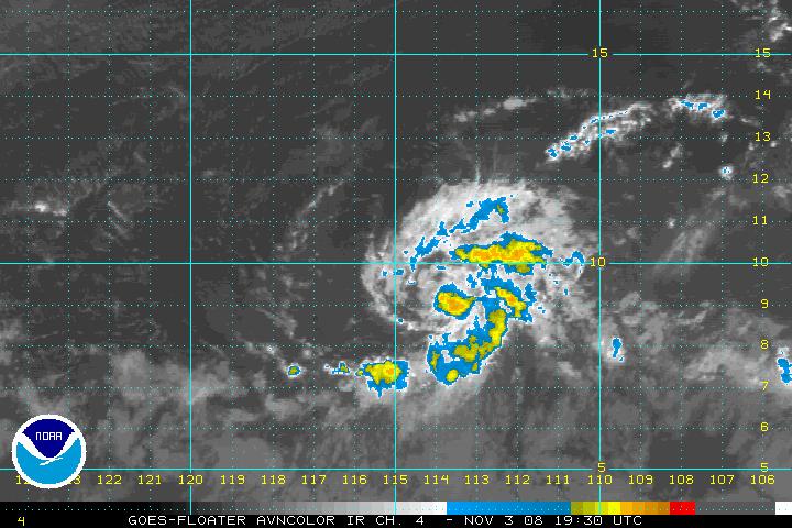
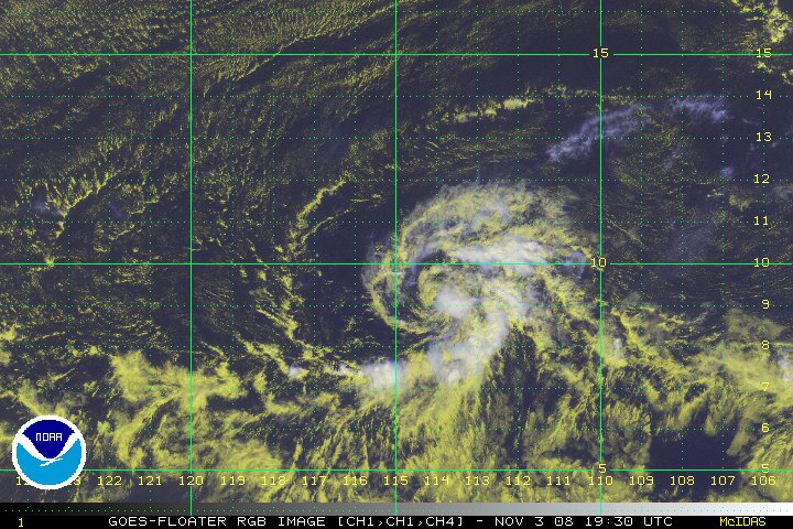
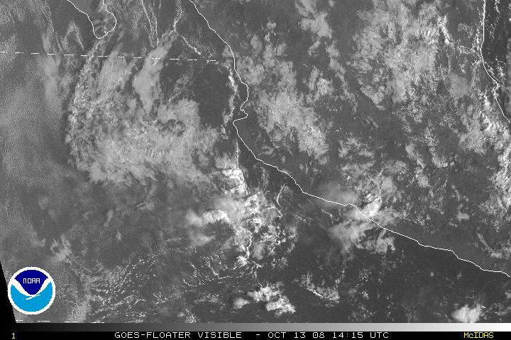
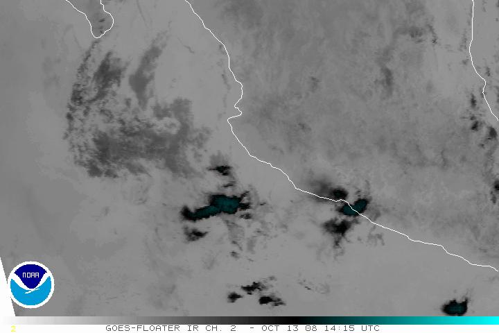
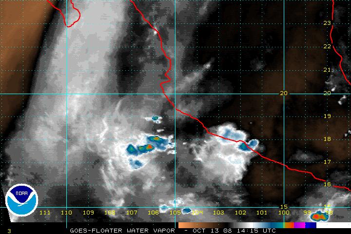
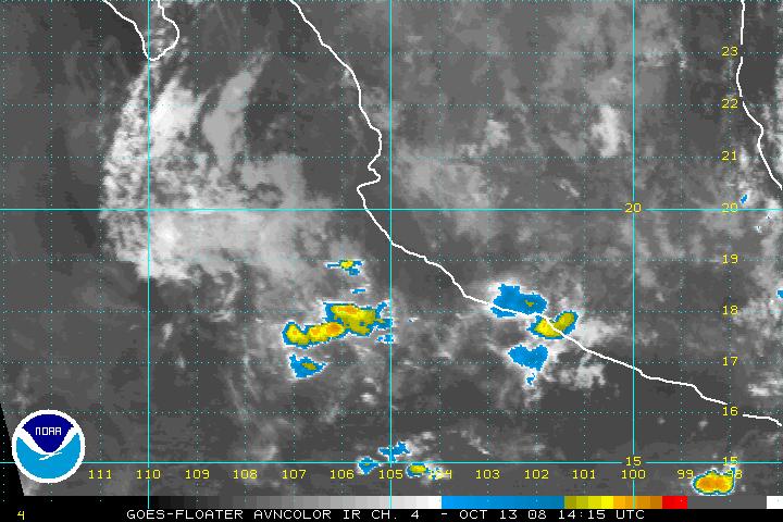
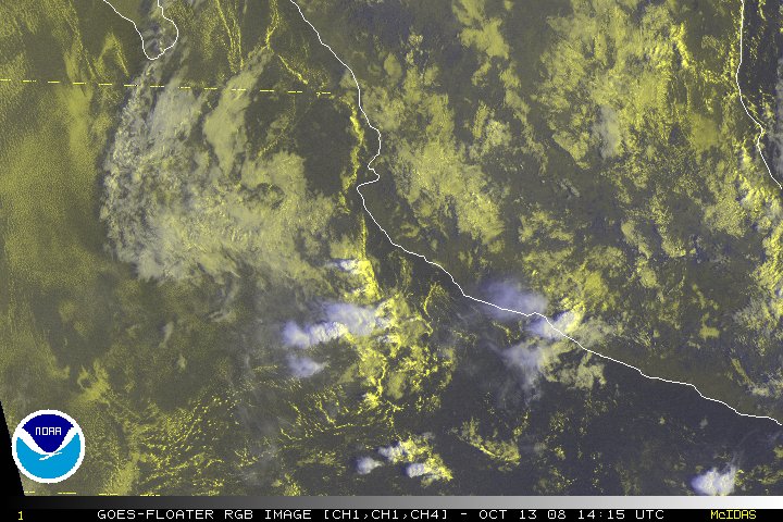
92W
|
Not Active
|
Not Active
|
Not Active
|
West Pacific - Wide View 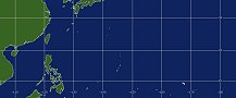 |
East & Central Pacific - Wide View 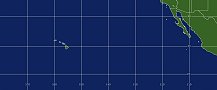 |
|
|
|
Note: Eastern East Pacific images are also visible on the West Atlantic Imagery
RTG-SST Sea Surface Temperatures |
Polar Image Composites |
Floaters |
System Status |
||
| Image | Atlantic | Pacific | |||
| Loop | Atlantic | Pacific | |||
|
Not Active
Not Active
|
Not Active
Not Active
|
||||||||||||||||||||||||||||||||||||||||||||||||||||||||||||||||||||||||||||||||||||||||||||
Link to All Floater Imagery
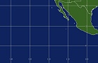
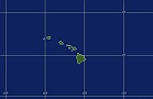
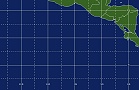
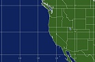
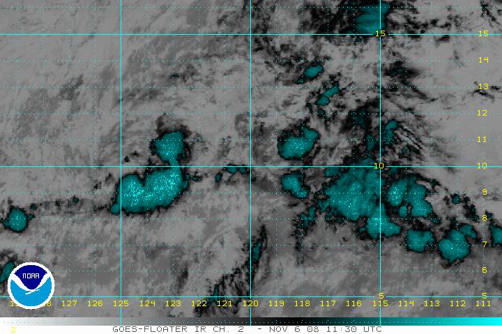
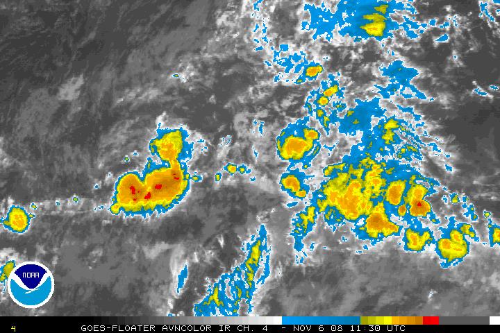
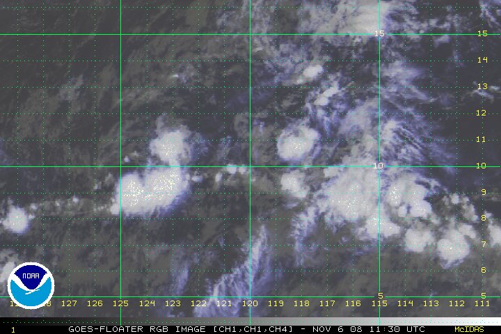
Geostationary Imagery from GOES-West Satellite, MTSAT-1R, and GOES-East for the Eastern East Pacific.
Links to outside sites and more satellite data:
|
Contact Information: |
||
|
You are Here: http://www.ssd.noaa.gov/PS/TROP/trop-epac.html
|

