|
|
|
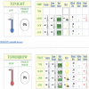
Quick Glimpse at the Weather
|
|
|
|
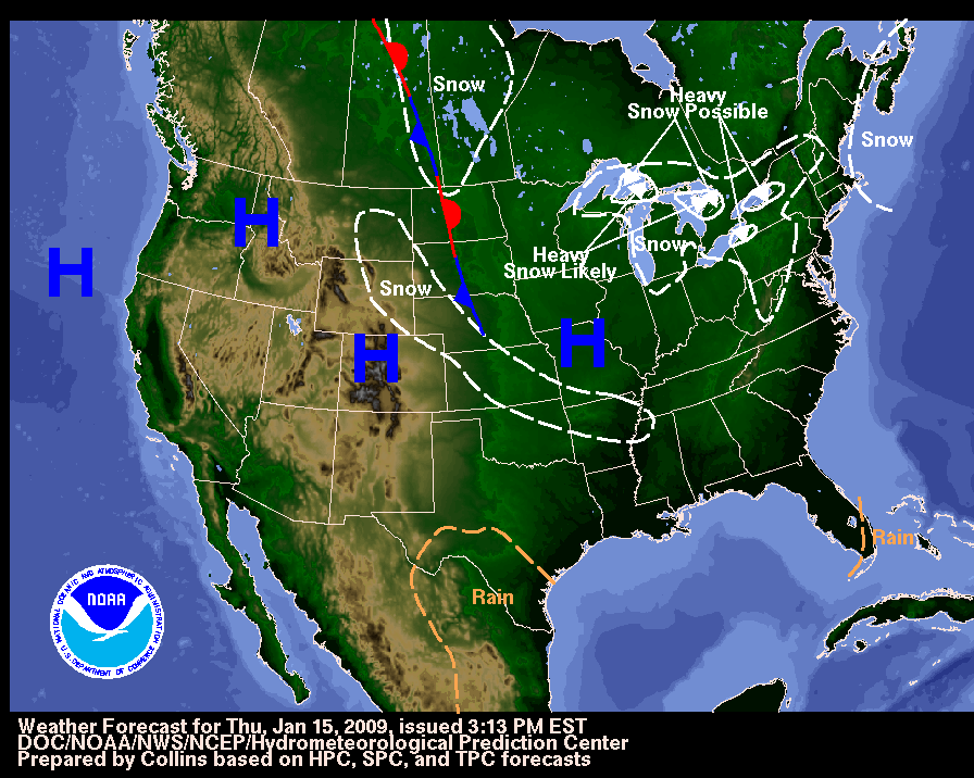
A clipper low pressure system will move off the New Jersey coastal areas and continue moving eastward later today. An expansive area of high pressure, the center of the arctic air mass, will then build slowly toward our area this afternoon through Friday. This high will settle over our region for most of Saturday, but then move quickly to our east as another storm system moves through Saturday night and Sunday. High pressure will then try to build in Monday and Tuesday. A cold front from the northwest may move through Tuesday night into Wednesday. ...full AFD...
|
Choose from the options below for other ways to view your NWS forecast
|
|
What's New
|
-
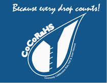
A new precipitation observing network began in New Jersey on Groundhog Day, 2008. Coordinated by the Office of the
NJ State Climatologist at Rutgers University's Agricultural Experiment Station, CoCoRaHS
(Community Collaborative Rain, Hail, and Snow network) is a community-based precipitation observing
network that has rapidly expanded throughout a number of states.
You may sign up by going to http://www.cocorahs.org.
... read more ...
|
 and additional resources
|

|
|
|
|
|
|

|
Question? Click here to
Ask a Meteorologist
|
|
Need help with the language that meteorologists use?
Contractions
Acronyms
Glossary
|
-
EXPERIMENTAL FEEDS AND WEB DISPLAYS OF WATCHES, WARNINGS AND
ADVISORIES - NOAA's National Weather Service offers several XML services that provide access
to NWS watches, warnings, advisories, and other similar products.


Read more...
How to read RSS feeds...
|
-
SKYWARNTM
is a concept developed in the early 1970's that was intended to promote a cooperative
effort between the National Weather Service and communities. The emphasis of the effort is often
focused on the storm spotter, a trained volunteer that reports hazardous weather conditions to their
local forecast office.
-
The
Operational Significant Event Imagery
team produces high-resolution, detailed imagery of significant environmental events.
More...
-
The NOAA Photo Library is a Rich Resource that spans centuries of time and much
of the natural world from the center of the Earth to the surface of the Sun. It has been
built in an attempt to capture NOAA's scientific heritage, which is in fact a heritage
shared by much of the physical and environmental science communities in the United
States today. To date, over 16,000 images have been digitized and reside in the online
NOAA Photo Library.
Go there now...
-
U.S. Daily Weather Maps Project
This site provides access to daily weather maps from 1871 to the present.
More...
|
|
Adjacent Weather Forecast Offices (WFOs)
|
|
Local Climate, Hydrology and Weather Topics
|
|


 WSR-88D Radar FAQ

 NOAA data server