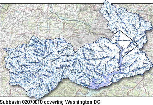
National Hydrography Dataset
 The National Hydrography Dataset (NHD) is a comprehensive set of digital spatial data that contains information about surface water features such as lakes, ponds, streams, rivers, springs and wells. Within the NHD, surface water features are combined to form "reaches," which provide the framework for linking water-related data to the NHD surface water drainage network. These linkages enable the analysis and display of these water-related data in upstream and downstream order.
The NHD is based upon the content of USGS Digital Line Graph (DLG) hydrography data integrated with reach-related information from the EPA Reach File Version 3 (RF3). The NHD supersedes DLG and RF3 by incorporating them, not by replacing them. Users of DLG or RF3 will find the National Hydrography Dataset both familiar and greatly expanded and refined. While initially based on 1:100,000-scale data, the NHD is designed to incorporate and encourage the development of higher resolution data required by many users. |
NHDinGEO Information Interested in NHDPlus? June 2007 See the monthly NHD Newsletters indexed by subject or date. USFS Reprojection Tool Version 1.3.1 (updated). May 2007 To access the Geographic Names Information System (GNIS) to check, submit new, or make changes to names in GNIS, go to our GNIS Information page. Upcoming NHD Training, Workshops, and Conference Presentations |