Skip Navigation to main content U.S. Department of Energy U.S. Department of Energy Energy Efficiency and Renewable Energy
Bringing you a prosperous future where energy is clean, abundant, reliable, and affordableEERE HomeEERE Home
Alternative Fuels and Advanced Vehicles Data Center
About the AFDCFuelsVehiclesFleetsIncentives and LawsData, Analysis and TrendsInformation ResourcesHome
Alternative and Advanced Fuels

Alternative Fueling Stations

Alternative fueling stations are located throughout the United States and their availability continues to grow. This page allows you to search for alternative fuels stations near you, map a route that includes alternative fueling stations along the way, obtain counts of alternative fuels stations by state, get U.S. level station views, and more.

The following alternative fuels are included in the mapping application: compressed natural gas (CNG), E85 (85% ethanol, 15% gasoline), propane/liquefied petroleum gas (LPG), biodiesel, electricity, hydrogen, and liquefied natural gas (LNG).

Alternative Fueling Station Mapping Resources

Station Locator: Find alternative fuel stations near a specific address, city, or state. Photo of a close up view of a map with red triangles marking station locations. Route Mapper: Map a route between a customized start point and end point. Photo of a close up view of a map with a green route mapped. U.S. View of Stations: View U.S. maps for each fuel, and explore an interactive map showing the available stations. Photo of a U.S. map with various points marking alternative fuel stations. Total Station Counts: Obtain total station counts by state and fuel type. Photo of a fuel cell vehicle being fueled at a hydrogen station. Custom Database Query: Search the stations database for specific fuel types in specific states or throughout the U.S. Photo of a hand typing on a computer keyboard.

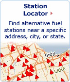
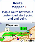
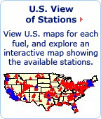
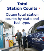
Add a Station to the Database 


Installing Infrastructure

Interested in building an alternative fueling station? Choose the links below.