In The Spotlight . . .
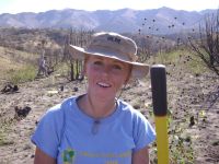

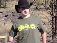
On September 27, 2008 volunteers donated more than 150 hours,
equaling nearly $5,000 worth of labor-read and see more.
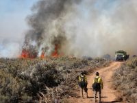
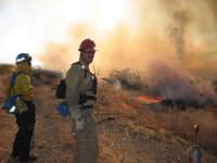
Bureau of Land Management Prescribed Burn Plans for Fall 2008
Tooele, Box, and Rich Counties-learn more.
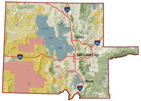
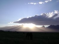
The SLFO is located in the northwest corner of Utah. Much of this area is part of the Great Basin region, a place of isolated mountain ranges separated by wide sweeping sagebrush flats.
This area is also a land of illusions, floating islands and vanishing water mirages. Almost touching the Utah-Nevada borders are the Bonneville Salt Flats, a unique plain of almost- pure, white salt. This geological oddity is one of the only places in the United States where one can see the curvature of the earth over dry land. Just south of the Salt Flats lies the Pony Express Trail where horse riders risked their lives delivering the mail in 1860 and 1861. [more]


