|
|
|
Metadata
|
|
ID
|
S-96-94-WG
|
|
Also Known As
|
SO96
|
|
Abstract
|
Chief Scientists: Roland Von Huene, Ernst Flueh.
Geochemical and Geophysical data (bathymetry, magnetics,
bottomseismometer) of field activity S-96-94-WG in Western
Gulf of Alaska from 07/28/1994 to 08/29/1994
|
|
Project/Theme
|
Seisvent
|
|
Chief Scientist
|
Roland Von Huene
Ernst Flueh
|
|
Activity Type
|
Geochemical and Geophysical
|
|
Platform
|
F. S. Sonne
|
|
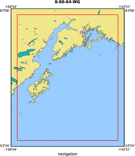
Area of Operation
|
Western Gulf of Alaska
|
|
Location map
|

|
|
Bounding Coordinates
|
61.75000
-156.00000 -144.25000
54.00000
|
|
Dates
|
07/28/1994 (JD 209) to 08/29/1994 (JD 241)
|
|
Analog Materials
|
No analog holdings.
|
|
Index map
|
|
|
Crew
|
|
Roland Von Huene
|
Chief Scientist, USGS Western Region
|
|
Ernst Flueh
|
Chief Scientist, GEOMAR
|
|
|
Equipment Used
|
|
bathymetry
|
|
magnetics
|
|
bottomseismometer
|
|
|
Purpose
|
|
Active seeping of fluids, including greenshouse gasses, from the accretionary wedge might influence global climate. Fluids also strongly influence the mechanics of faults in the wedge.
|
|
|
Summary
|
|
Used USGS and hydrosweep data to locate potential site where fluids seep from the accretionary wedge. The lower continental slope off Kodiak Island was surveyed using Hydrosweep.
|
|
|
Notes
|
|
USGS contact: Mike Fisher
|
|
(from 9/2/94 USGS Bulletin) During July the German research ship Sonne
|
|
conducted geochemical and geophysical research in the Gulf of Alaska. Chief
|
|
scientists Roland Von Huene and Ernst Flueh of GEOMAR in Germany were
|
|
interested in measuring the flux of greenhouse gasses from the accretionary
|
|
wedge near the Aleutian Trench. Multichannel seismic and Hydrosweep
|
|
bathymetric data provided initial clues to locate potential fluid seeps, and
|
|
the geochemists investigated likely sites using a video-camera sled. Although
|
|
we found no obvious seeps, ever optimistic scientists hoped that the following
|
|
cruise would identify additional sites for detailed analysis. Another research
|
|
goal was to collect detailed seismic-velocity information from accreted rocks
|
|
near the trench. From these data, geophysicists hoped to calculate gradients
|
|
in the degree of compaction of accreted sediment as well as the volume of
|
|
fluid expelled. The seismic source was two monstrous (2000 cu. in. each) air
|
|
guns. Ten OBSs were deployed repeatedly with great success in this endeavor.
|
|
Unfortunately, foul weather foiled our attempt to measure the seismic velocity
|
|
of highly reflective rocks that form the middle and lower crust of the
|
|
accretionary complex near lower Cook Inlet. The highlight of the cruise came
|
|
with our realization that enigmatic features in USGS and Hydrosweep data
|
|
revealed collision scars that resulted from subduction of seamounts and
|
|
collision of the Yakutat terrane. Mike Fisher
|
|
|
Got Help?
|
For S-96-94-WG, we would appreciate any information on -- analog materials, contract, days at sea, dive count, funding, information specialist, information to be derived, kms of navigation, national plan, NGDC Info, organization, owner, ports, project number, publications, scanned materials, seismic description, station count, station description, submersible, tabulated info.
|
|