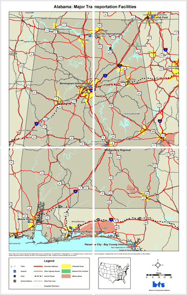
Notes: Data in this map are derived from federal data
sources, primarily the U.S. Department of Transportation, U.S. Geological Survey,
and the Army Corps of Engineers. Displayed data may not include all state and
local transportation or other facilities.
Airports depicted are those reporting 10,000 or more enplanements in 2000. Cities depicted are those with a total population over 25,000 in 2000. Pipelines and transit facilities are not shown.