|
|
Center for Operational Oceanographic Products and Services
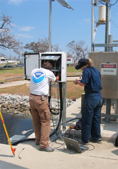
The Center for Operational Oceanographic Products and Services (CO-OPS) and its predecessors have gathered oceanographic data along our nation’s coasts for over 200 years to protect life, property, and the environment. Serving both the public and other government agencies, CO-OPS is the authoritative source for accurate, reliable, and timely water-level and current measurements that support safe and efficient maritime commerce, sound coastal management, and recreation. The combined efforts, knowledge, and experience of CO-OPS’s technicians, scientists, and engineers working to carry out a central mission has led to the development of a reliable center of expertise for coastal physical oceanography. CO-OPS collects, analyzes, and communicates oceanographic information, a mission that is as relevant today as it was 200 years ago. CO-OPS initiatives include:
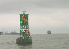
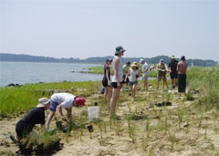
Enhancing Navigation. Over 95 percent of U.S. international trade moves through U.S. ports and harbors. CO-OPS’s products contribute to the nation’s economic competitiveness, while reducing risks to life, property, and the coastal environment. For example, the Physical Oceanographic Real-Time System (PORTS®) helps mariners by integrating real-time environmental observations and forecasts. Similarly, CO-OPS Tide and Tidal Current Tables are used daily to plan voyages, while CO-OPS provides the reference for dredging and charting projects. Supporting Coastal Zone Management. Armed with CO-OPS tide data and analyses, coastal zone managers and engineers are well-equipped to plan and successfully accomplish beach re-nourishment and marsh restoration projects, as well as guide coastal development risk assessments and land-use planning.
Assisting Coastal Hazard Mitigation. From monitoring storm tide, to providing information for tsunami warning and detection, to distributing real-time data for search-and-rescue or oil-spill clean up operations, CO-OPS provides time-critical information that impacts the nation’s ability to prepare for and confront coastal hazards. Monitoring Climate Change. Two hundred years of carefully operating the tide and water level station network around the U.S. coast and Great Lakes has yielded historical data that helps us understand trends in sea level rise, the impact of coastal storms and El Nino-type events, and the impact of long-term falling water levels in the Great Lakes.
|
Educational ResourcesTides and Currents Lesson Plan Tides and Water Levels Discovery Kit
Tide Predictions Accessible from Cell Phones: Spring 2004 Measuring Air Gap Aids Navigation: Spring 2004
|
||||||||||||||||||||||
- NOS Program Offices
- Center for Operational Oceanographic Products and Services
- National Centers for Coastal Ocean Science
- NOAA Coastal Services Center
- National Geodetic Survey
- Office of Coast Survey
- Office of National Marine Sanctuaries
- Office of Ocean and Coastal Resource Management
- Office of Response and Restoration

Revised January 09, 2009
| Questions, Comments? Contact Us | Report
Error | Disclaimer | About
the Site | User Survey
National Oceanic and Atmospheric
Administration | U.S.
Department of Commerce | USA.gov
http://oceanservice.noaa.gov/programs/coops/welcome.html


