
|

|

|
|
USGS CMG State Waters Mapping KMLs |
Skip navigational links |
|

|
| New Field Work: | GE ( Future Present ) Past (GE) Field Schedules: ( Santa Cruz / Menlo Park St. Petersburg Woods Hole ) News: ( CMG USGS DOI ) |
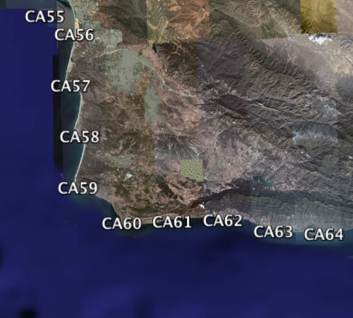
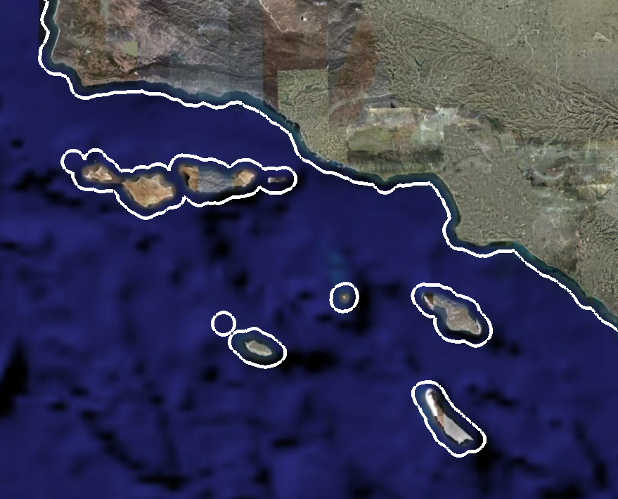
| CA State Waters Quad: | 1 2 3 4 5 6 7 8 9 10 11 12 13 14 15 16 17 18 19 20 21 22 23 24 25 26 27 28 29 30 31 32 33 34 35 36 37 38 39 40 41 42 43 44 45 46 47 48 49 50 51 52 53 54 55 56 57 58 59 60 61 62 63 64 65 66 67 68 69 70 71 72 73 74 75 76 77 78 79 80 81 82 83 101 102 103 104 105 106 107 108 109 110 111 112 113 114 115 116 117 118 119 120 121 122 123 124 125 126 127 |
| Virtual Globes: | Atlas (GE) Samples (GE) Illuminate Oceans (GE) Earthquakes (GE) Get GE InfoBank examples State Waters |
|
This page provides links to InfoBank .kml files viewable in virtual globes (such as Google Earth) related to state waters mapping projects.
Field Activity data on a quad-by-quad basis can be found using the links in
|
 above.


| Skip footer navigational links |
| InfoBank Menlo Park & Santa Cruz Centers St. Petersburg Center Woods Hole Center Coastal and Marine Geology Program Geologic Information Ask-A-Geologist USGS Disclaimer |
