|
|
| You are here: NODC Home > Access Data > Buoy Home > Hawaiian Islands |
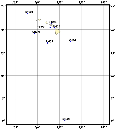
| Use the Buoy ID text links below or click on ID in the map. |
Hawaiian Islands
Click on the Buoy ID for more information about the buoy and data availability. BUOY ID's
red triangle = C-MAN (Coastal Marine Automated Network Station) |
| Last modified: Thu, 8-Jan-2009 13:37 UTC | NODC.Webmaster@noaa.gov | ||
|
Freedom of Information Act (FOIA)
USA.gov - The U.S. Government's Web Portal
|
|||