|
2008 Federal Duck Stamp Contest
Phone: 612-713-5360 |

Southeast Missouri Lead Mining District

Background
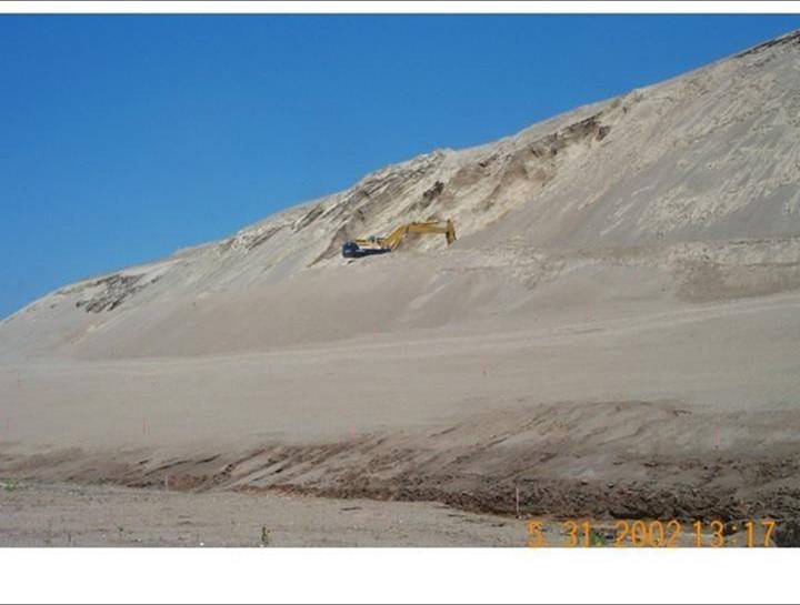
Mining and smelting sites within St. Francois, Reynolds, Jefferson and Iron Counties in Missouri are located within the Southeast Missouri Lead Mining District (SEMOLMD), an area that was mined extensively for lead and zinc for more than a century. As a result of this mining and related activities, large amounts of metals including cadmium, lead, zinc, and nickel were released and are continuing to be released into Missouri's environment. Cadmium, lead, zinc, and other metals associated with mining are potentially toxic to a wide variety of plants and animals.Under the Comprehensive Environmental Response, Compensation and Liability Act, and implementing regulations, the Director of the Department of Natural Resources (MDNR) and the U.S. Department of the Interior (DOI) are Trustees for natural resources in the SEMOLMD. Natural resources over which MDNR and DOI exercise trusteeship include surface waters (rivers, lakes, streams, etc.), ground water, soils, air, plants, and animals. As Trustees, the State of Missouri and DOI serve as stewards for these resources within the SEMOLMD and have the authority to assess whether the resources and their services have been injured as a result of release(s) of hazardous substances. Injuries to natural resources can occur if the resources are exposed to concentrations of hazardous substances that are high enough to cause specific adverse effects. For example, injuries can occur if lead and/or zinc concentrations in surface waters are so high that relevant water quality criteria are exceeded. Plants and animals are injured if they die, cannot reproduce normally, become sick or are otherwise negatively affected as defined under relevant laws and regulations.
The process through which the Trustees evaluate injuries to natural resources associated with the release(s) of hazardous substances and determine appropriate compensation for those injuries is called natural resource damage assessment and restoration (NRDAR). DOI promulgated and published NRDAR regulations in the Federal Register (43 CFR Part 11.). These regulations provide procedures by which trustees can identify natural resource injuries, quantify those injuries, determine appropriate compensation (damages) for the injured resources and the services they provide, and restore those injured resources. The NRDAR process includes a number of different steps, specifically:
1) Pre-assessment
2) Assessment planning
3) Assessment
4) Post-Assessment Planning and Implementation
DOI and the State of Missouri have begun a NRDAR for portions of the Southeast Missouri Lead Mining District (SEMOLMD). In June 2008, the Trustees completed the pre-assessment phase for the Big River Mine Tailings Superfund Site and Surrounding Area in the St. Francois County portion of SEMOLMD and three sites within the Viburnum Trend portion of SEMOLMD: Sweetwater Mine and Mill Complex, West Fork Mine and Mill Complex, and Glover Smelter which culminated in two Pre-Assessment Screens and Determinations (PAS) (MDNR and DOI 2008). In the PASs, in accordance with applicable regulations, the Trustees concluded that further investigation and assessment of natural resource injury and damages was warranted at the Sites described above. 43 C.F.R §§11.24 and 11.25.
In addition to this website, you can learn more about the SEMOLMD NRDA by visiting the Missouri Department of Natural Resources at (leave this website):http://www.dnr.mo.gov/env/hwp/sfund/nrda.htm
Natural Resource Damage Assessment Contacts and Reports
During the NRDAR process, the Trustees create a number of key documents which are released to the public for review and comment. The links below will allow you to view the Trustee reports for the Ottawa River Natural Resource Damage Assessment. Bookmark this page to keep up to date with the latest information released. If you have any questions concerning information found in any of these reports or any other comments related to the Ottawa River NRDA, contact us via email.
Dave Mosby, Case Manager, U.S. Fish and Wildlife Service
Ms. Frances Hayes Klahr, Case Manager, Missouri Department of Natural Resources
Available Reports
(All reports are in PDF format and will require the Adobe Acrobat Reader to view these documents. Some files are large so note the file size before downloading.)
Two Preassessment Screens:
Viburnum Trend PAS (108KB .pdf file) June, 2008
Big River Mine Tailings Site (220KB .pdf file) June, 2008
Assessment Plan draft (1MB .pdf file) August, 2008;
Sediment and Mussel Sampling Plan (80KB .pdf file) August, 2008
Study Plan for Sediment Metal Toxicity (53KB .pdf file) September, 2008
Other links:
Region 3 Contaminants Program Homepage
U.S. Fish and Wildlife Service Washington Office Contaminants Homepage