Home>Regional Conditions    A javascript-free version of this page is also available.

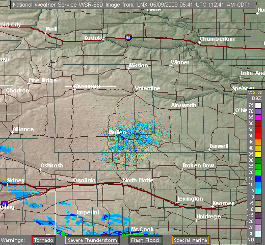
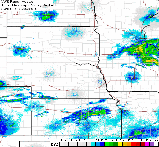
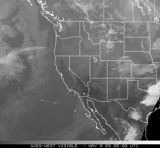
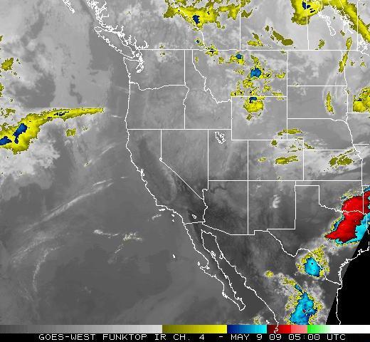
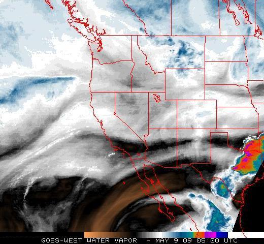
Current Radar and Satellite Images
Click on any image to view an animation.

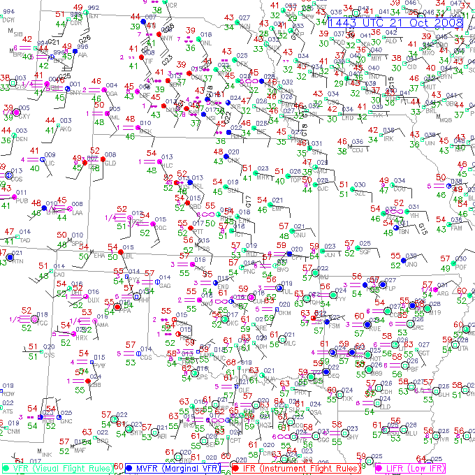
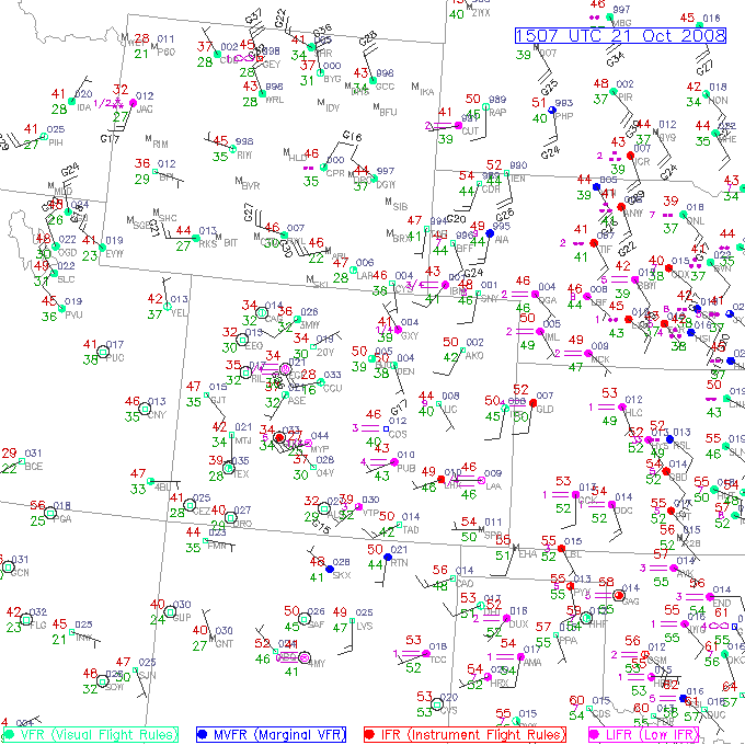
Current Surface Conditions

Current Surface Maps
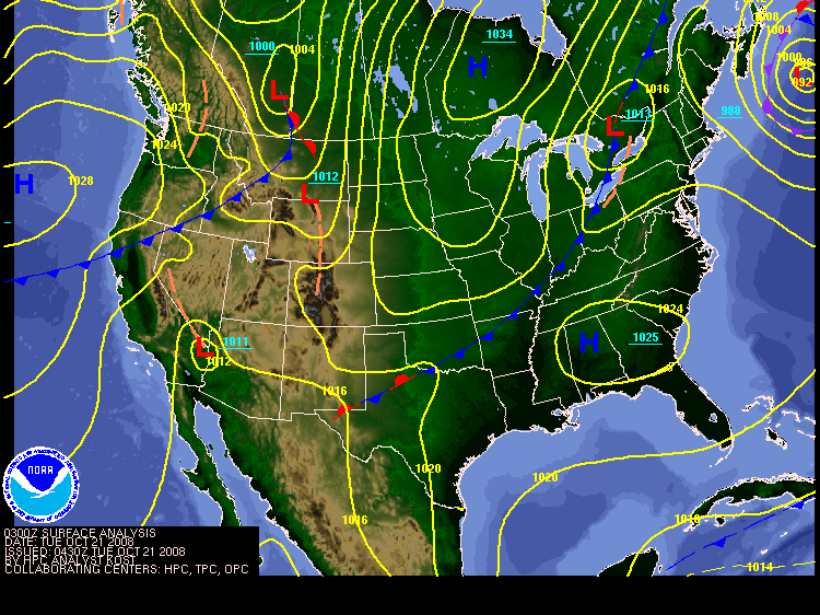
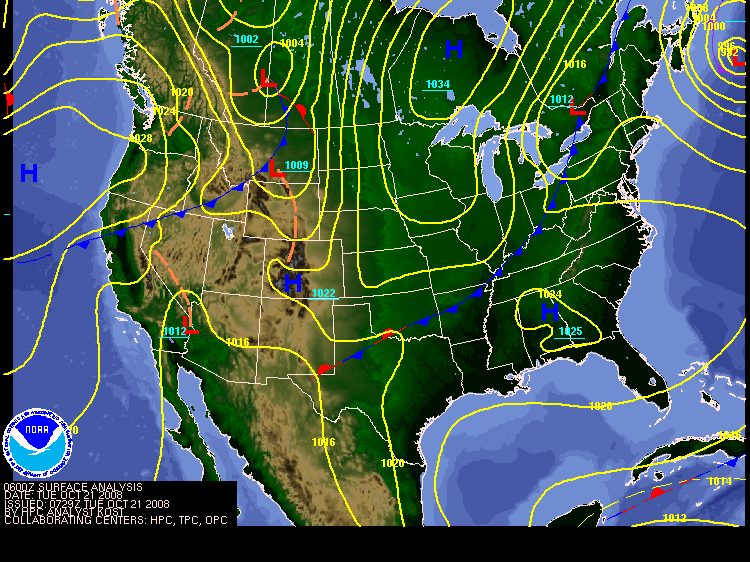
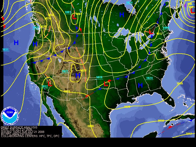
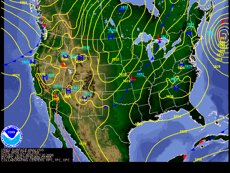
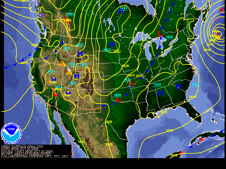
To view the most recent surface map select the Z time nearest and previous to the current Z time.
The current time is 5Z.
Additional Regional Conditions Links
Upper Air, Sounding and Wind Profiler Data
SPC Surface and Upper Air Maps
NCAR Upper Air Analyses and Soundings
Nebraska Vortex Intercept Team Upper Air Plots & Analyses
GOES Satellite Soundings
Sounding Generator
NOAA ESRL-GSD/NWS Wind Profiler Graphical Displays
Surface Data
Current Weather Conditions: CO IA KS MO NE SD WY
HPC Surface Analyses
MADIS Surface Data
NCAR Surface Data
National Radar Mosaic
Precipitation and Drought Analysis
AHPS National Precipitation Analysis
Nebraska Rainfall Assessment and Information Network
Interactive Snow Information
Drought Outlook
Palmer Drought Severity Index
Drought Monitoring Page at the Climate Prediction Center
NOAA's Drought Information Center
Precipitation Needed to End Drought
U.S. Drought Monitor from the University of Nebraska-Lincoln
Crop Moisture Index
Weekly Weather and Crop Bulletin
Road Conditions
Nebraska Department of Roads Traveler Information Portal
Nebraska Department of Roads Highway Cameras
Other Sites of Interest
SPC Mesoscale Analysis Page
Weather Charts
Wind Chill Index Chart and Information
Heat Index Chart

  • National Weather Service
  • North Platte, NE Weather Forecast Office
  • 5250 E. Lee Bird Drive
  • North Platte, NE 69101-2473
  • 308-532-4936
  • Page Author: LBF Webmaster
  • Web Master's E-mail: w-lbf.webmaster@noaa.gov
  • Page last modified: 12-Jun-2008 1:34 PM UTC
USA.gov is the U.S. government's official web portal to all federal, state and local government web resources and services.