Experimental Rainfall Maps
This data is not official
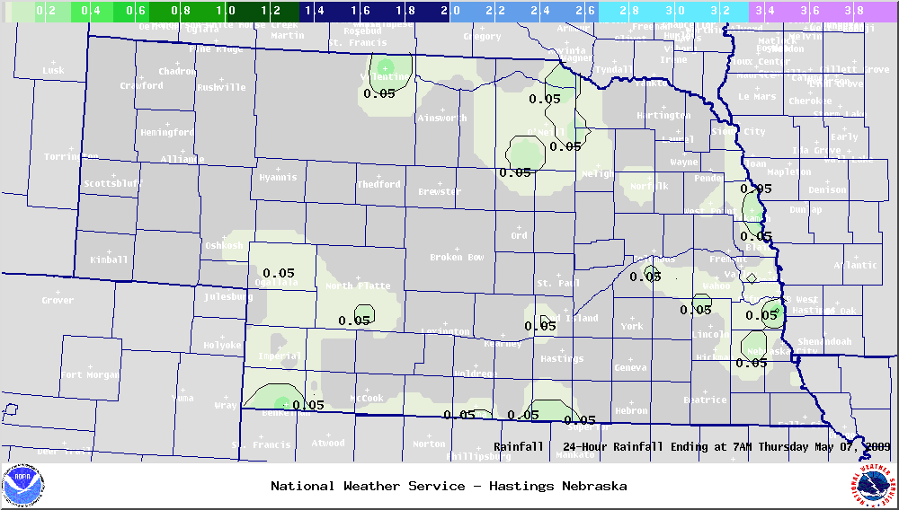
The rainfall map below represents the best estimate of rainfall amounts or liquid equivalent of melted snow during the past 24 hours across Nebraska. Please note that this data is not official. The data is compiled using reports from local law enforcement, volunteer spotters, and cooperative observers. New maps will generally be created and posted between 11 AM and 12 Noon each morning. The National Weather Service also produces National precipitation analysis.
Note: In an effort to make the rainfall maps more user-friendly, contours are now being used on each map instead of single point values. Also, click here for archived rainfall maps.
Any comments, questions, or suggestions should be directed to Webmaster.
A text version of the latest data is available on the Nebraska Temperature and Precipitation Summary.
Also Available: Snowfall Maps | Snow Depth Maps | Archive of Rainfall Maps
 |