USDA Forest Service Celebrating Wildflowers
|
|
|
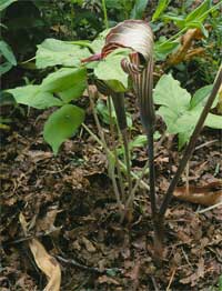
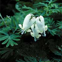
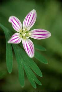
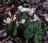
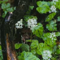
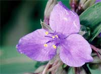
Southern Region Viewing AreaLOCATION and PHOTOSUwharrie River TrailForest: Uwharrie National Forest District: Uwharrie Ranger District Description: The Uwharrie National Forest is a small unit with about 50,000 acres east of Charlotte, North Carolina. It is strategically situated less than a three hour drive from the most concentrated population center within North Carolina. Plant associations vary in the Uwharrie National Forest by moisture gradient, slope and aspect. The drier ridge tops are dominated by white oak, chestnut oak and scarlet oak or in the south by longleaf pine. On the slopes more mesic hardwoods, oaks and hickories, dominate. In the constricted floodplains of streams and draws and broader floodplains on the Uwharrie River, mesic hardwoods such as beech, tulip poplar, green ash, black walnut, and red maple dominate. The greatest diversity of spring wildflowers is confined to these narrow zones. The Uwharrie River Trail is an easy, 0.5 mile trail through a Piedmont alluvial forest, beginning at the overlook for the falls, and descending to a bridge crossing the Whitewater River. The trail parallels the Uwharrie River down the river, where it connects with the Foothills Trail, and a parking area near Lake Jocassee. The walk from the bridge back to the overlook, however, is very steep, with a large number of wooden steps. Although steep, the trail is among the best the in area for wildflowers, especially near the river. Common wildflowers include trout lily, spring beauty, great chickweed, stonecrop, touch-me-not, jack-in-the-pulpit, black cohosh, butterfly pea, wild comfrey, Carolina phlox, mayapple, blue cohosh, bloodroot, crested iris, anemone, wild geranium, spiderwort, green-headed coneflower, little brown jugs, little-sweet-betsy, dutchman’s breeches, liverwort, hepatica, and ragwort. Both redbud and pawpaw, two attractive flowering small trees are common. Best time to enjoy: late March – mid April. Safety First: The Uwharrie National Forest receives moderately high recreational use throughout the summer, and traffic along the forest roads can be heavy, especially near developed facilities. Weather in the Piedmont is mild in the spring, but can be quite hot (exceeding 90 degrees) and muggy in the summer and early fall. While the area does not experience as much rainfall as the mountains to the west, an unexpected rain shower can quickly result in the summer afternoon. Chiggers and ticks are often present in the summer and fall. Please take necessary precautions while hiking outdoors. Adequate rain gear is recommended as well as bug repellant. Directions: From Troy, North Carolina, take state highway 109 north for approximately 9.3 miles. Just north of the Uwharrie River bridge crossing, turn left on state route 1153, and drive 0.4 miles taking a right on forest service road 576. Follow for 0.2 miles taking a left there on to Cotton Place Road (# 555). Follow 555 for approximately 1.0 miles to the Uwharrie River trail. The trailhead is on the left. There are no facilities at the trailhead. Ownership and Management: U.S. Forest Service, Uwharrie National Forest. Closest Town: Troy, North Carolina. |
|
| NOTE: PDF format links require the Adobe Acrobat Reader to view. | |
| top | Disclaimers | FOIA | Privacy Policy | Quality of Information | Photo Credits & Use |
Location: http://www.fs.fed.us/wildflowers/regions/southern/UwharrieRiver/index.shtml
Last modified: Tuesday, 24-Jun-2008 21:57:38 EDT
