EFH Mapper
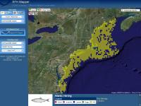
The EFH Mapper is an online tool developed to help visualize and query GIS layers representing EFH and HAPCs. Please be sure to read the data inventory and data quality sections of this site to fully understand the completeness and accuracy of the information that the EFH Mapper provides.
Launch the EFH Mapper >>