|
| |
Innovations
|
 Rich Map, Poor Map
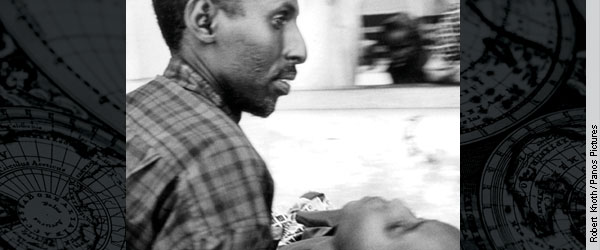
 W. Conard Holton Abstract
Researchers, activists, and policy makers are beginning to combine "poverty maps" that locate the poor with maps that identify environmental conditions to create a tool that helps guide policy decisions and remediation actions. Enhanced computer power and the advent of geographic information system mapping software now enables a kind of multidimensional mapmaking that layers data linked to geographic location--for example, a region's highway infrastructure, forest cover, building locations, presence of airborne toxicants, and infant mortality--in a portrait of the causality and dynamics of poverty-environment interactions.
The full version of this article is available for free in HTML or PDF formats. |
|
|
|
|