
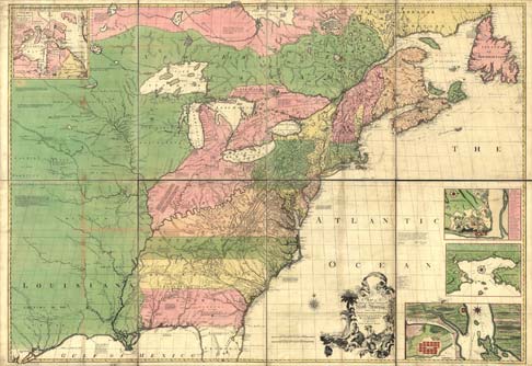
This 1755 hand-colored, engraved map by John Mitchell shows British and French holdings in North America, along with roads, distances, and the extent of colonial settlements of the day. - Geography and Map Division
This 1755 hand-colored, engraved map by John Mitchell shows British and French holdings in North America, along with roads, distances, and the extent of colonial settlements of the day. - Geography and Map Division