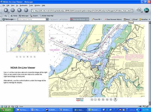
NOAA’s 1,000-plus U.S. coastal and Great Lakes nautical charts are viewable here on-line. Each chart is up-to-date with the most recent Notices to Mariners corrections. Use these on-line charts as a ready reference or planning tool. Use NOAA’s printed or digital charts to navigate with on your voyage.
To tell us what you think about this service, please submit a comment; if you think it's a good idea, what you use it for, and how it could be improved. Also, please notify us if a chart image fails to display properly so that we can resolve the problem.
To report a chart discrepancy, please visit the discrepancy report page.
NOTE: Use official, full scale NOAA nautical charts for real-world navigation whenever possible. These are available from authorized NOAA nautical chart sales agents. Screen captures of the on-line viewable charts available here do NOT fulfill chart carriage requirements for regulated commercial vessels under Titles 33 and 46 of the Code of Federal Regulations.
|