|
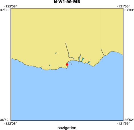
The total station was set up on the high bluff, southeast of
|
|
the stairs, overlooking New Beach. The HA reference was set to 000deg on
|
|
Control Point 10705 (at Cowells Beach). The SECO level rods, in
|
|
conjunction with the level-rod support tripods were placed on various
|
|
control points at Cowells Beach and used to establish geodetic control
|
|
at this location.
|
|
|
|
Program 10 (site setup) was performed on the total station
|
|
|
|
Program 20 (station establishment) was performed on the total station
|
|
using option "Unknown Station Location", utilizing Control Points 10705,
|
|
10704, and 10703.
|
|
|
|
Program 4 (UTM) was used to collect control and topo points
|
|
|
|
Control Points: 10703, 10705, 10704, 11403 (10603), 11402 (10602), and
|
|
11401 (10601) were surveyed (Fast Standard mode). A hand-held stadia
|
|
(EXTB) was used for Control Points 11402 (10602) and 11401 (10601).
|
|
|
|
The Profiles were surveyed using the EXP3 stadia rod (Tracking mode)
|
|
and carried offshore through the surf zone. Due to the gently sloping
|
|
bottom topography, the profiles were not carried to the maximum limit
|
|
of the stadia rod, offshore.
|
|
|
|
Gretchen Luepke assisted with the control points.
|
|
|
|
Thomas E. Reiss operated the total station, sketched, and photographed
|
|
the area.
|
|
|
|
Justin Friesner was the rodman
|
|
|
|
Images taken
|
|
The following images were taken with a Kodak DC120 Digital
|
|
camera.
|
|
|
|
99011214 -- View of "New Beach", looking north. From this location,
|
|
Cowells Beach can be seen at the top of the image as well
|
|
as the landward portion of the Santa Cruz wharf.
|
|
99011215 -- View of the stairs leading down to the beach at New Beach,
|
|
from the Geodimeter Location. In this view, all three
|
|
control point locations can be seen.
|
|
99011216 -- Control Point SCRUZ.ARE/10602 "Guard Rail" The control
|
|
point is a survey nail pounded into the top of the 4" X 4"
|
|
guardrail post. View looking east. The mid-portion of the
|
|
Santa Cruz wharf can be seen in the background.
|
|
99011217 -- Control Point SCRUZ.ARE/10603 "Path" The control point
|
|
is a survey nail pounded into the gap which separates
|
|
the asphalt path and wood border. The nail is directly
|
|
opposite the fence post. The seaward end of the Santa
|
|
Cruz wharf can be seen in the background.
|
|
99011218 -- Control Point SCRUZ.ARE/10601 "Stairs" The control point
|
|
is a survey nail pounded into the top corner of the hand
|
|
rail of the stairs leading down to the beach.
|
|
99011219 -- View from Control Point SCRUZ.ARE/10601 "Stairs" looking
|
|
south-southeast, back towards the Geodimeter Location.
|
|
This view shows the height of the cliff above the water.
|
|
Date field data collection started --- 12 January 1999, 1100 (PST)
|
|
|
|
Date field data collection ended --- 12 January 1999, 1300 (PST)
|