|
|
|
Metadata
|
|
ID
|
03024
|
|
Also Known As
|
03024
A-2-03-BZ
A203BZ
|
|
Abstract
|
United States Geological Survey, Woods Hole,
Massachusetts,Woods Hole Oceanographic Institution. Chief
Scientist: Rick Rendigs. Data (scuba, benthicchambers,
pushcore) of field activity 03024 (A-2-03-BZ) in Buzzards
Bay, Cape Cod, Massachusetts, United States, North
America,North Atlantic from 03/20/2003 to 03/20/2003
|
|
Organization
|
United States Geological Survey, Woods Hole, Massachusetts
Woods Hole Oceanographic Institution
|
|
Chief Scientist
|
Rick Rendigs
|
|
Platform
|
Asterias
|
|
Area of Operation
|
Buzzards Bay, Cape Cod, Massachusetts, United States, North America,
North Atlantic
|
|
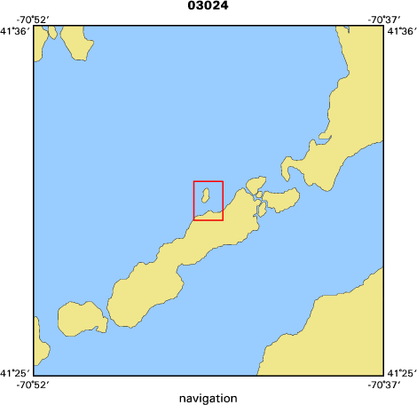
Location map
|

|
|
Bounding Coordinates
|
41.52000
-70.75000 -70.73000
41.50000
|
|
Ports
|
leave Woods Hole, Ma.
arrive Woods Hole, Ma.
|
|
Dates
|
03/20/2003 (JD 079) to 03/20/2003 (JD 079)
|
|
Analog Materials
|
No analog holdings.
|
|
Index map
|
|
|
Crew
|
|
Rick Rendigs
|
Chief Scientist, USGS Woods Hole
|
|
Chuck Worley
|
diver and mobilizer, USGS Woods Hole
|
|
Dann Blackwood
|
diver and mobilizer, USGS Woods Hole
|
|
Larry Ball
|
diver, WHOI
|
|
Joanne Goodreau
|
scientist, WHOI
|
|
|
Equipment Used
|
|
scuba
|
|
benthicchambers
|
|
pushcore
|
|
|
Purpose
|
|
USGS divers assist with the deployment of WHOI benthic chambers.
|
|
|
Information to be Derived
|
|
Samples and Chemical Analysis
|
|
|
Summary
|
|
Deployment of benthic chambers successful-to be recovered at a
|
|
later date.
|
|
|
Got Help?
|
For 03024, we would appreciate any information on -- activity type, analog materials, contract, days at sea, dive count, funding, information specialist, kms of navigation, national plan, NGDC Info, notes, owner, project, project number, publications, scanned materials, seismic description, station count, station description, submersible, tabulated info.
|
|


