|
|
|
Metadata
|
|
ID
|
02032
|
|
Also Known As
|
02032
O-1-02-NJ
O102NJ
|
|
Abstract
|
Chief Scientists: Page Valentine, Tom Noji, Vince Guida.
Data (pcode, underwatertelevision, underwatercamera,
VanVeengrab, samples) of field activity 02032 (O-1-02-NJ) in
New Jersey Shelf, New Jersey, United States, North America,
North Atlantic from 10/24/2002 to 11/04/2002
|
|
Project/Theme
|
Geologic Studies of Benthic Habitats - Hudson Canyon Shelf
|
|
Chief Scientist
|
Page Valentine
Tom Noji
Vince Guida
|
|
Platform
|
Oceanus
|
|
Area of Operation
|
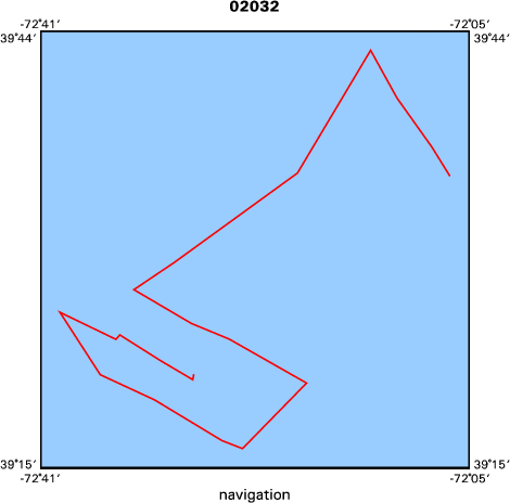
New Jersey Shelf, New Jersey, United States, North America, North Atlantic
|
|
Location map
|
|
|
Bounding Coordinates
|
39.70000
-72.70000 -72.10000
39.30000
|
|
Ports
|
leave Woods Hole, MA
arrive Woods Hole, MA
|
|
Dates
|
10/24/2002 (JD 297) to 11/04/2002 (JD 308)
|
|
Analog Materials
|
No analog holdings.
|
|
Index map
|
|
|
Crew
|
|
Page Valentine
|
Chief Scientist, USGS Woods Hole
|
|
Tom Noji
|
Chief Scientist, NMFS, Sandy Hook, NJ
|
|
Vince Guida
|
NMFS, Sandy Hook, NJ
|
|
Dann Blackwood
|
Field Assistant, USGS Woods Hole
|
|
Madhavi Mamidipalli
|
Field Assistant, USGS Woods Hole
|
|
|
Equipment Used
|
|
pcode
|
|
underwatertelevision
|
|
underwatercamera
|
|
VanVeengrab
|
|
samples
|
|
|
Purpose
|
|
geology/biology of benthic habitats
|
|
|
Information to be Derived
|
|
|
Summary
|
|
Total of 80 stations occupied; 23 sediment samples; 48 biological
|
|
samples; 32 video transects; 32 photo transects
|
|
|
Notes
|
|
Navigation Techniques: pcode, 10 sec update
|
|
|
Got Help?
|
For 02032, we would appreciate any information on -- activity type, analog materials, contract, days at sea, dive count, funding, information specialist, kms of navigation, national plan, NGDC Info, organization, owner, project number, publications, scanned materials, seismic description, station count, station description, submersible, tabulated info.
|
|


