|
|
|
Metadata
|
|
ID
|
07006
|
|
Also Known As
|
D-1-07-GK
07006
|
|
Abstract
|
United States Geological Survey, Woods Hole, Massachusetts.
Chief Scientists: Page Valentine,, Robert Reid, NOAA
Fisheries,, Jeremy Collie, URI. Data (Navigation-GPS,
SEABOSS, P-code navigation, ottertrawl, beamtrawl,
naturalistdredge, CTD) of field activity 07006 (D-1-07-GK) in
Georges Bank, United States, North America, North Atlantic
from 07/02/2007 to 07/13/2007
|
|
Organization
|
United States Geological Survey, Woods Hole, Massachusetts
|
|
Project/Theme
|
Atlantic Benthic Habitats
|
|
Chief Scientist
|
Page Valentine
Robert Reid
Jeremy Collie
|
|
Platform
|
Delaware II
|
|
Area of Operation
|
Georges Bank, United States, North America, North Atlantic
|
|
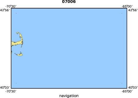
Location map
|

|
|
Bounding Coordinates
|
42.75000
-70.25000 -65.25000
40.25000
|
|
Ports
|
LEAVE Woods Hole, MA
ARRIVE Woods Hole, MA
|
|
Dates
|
07/02/2007 (JD 183) to 07/13/2007 (JD 194)
|
|
Analog Materials
|
No analog holdings.
|
|
Index map
|
|
|
Information Specialist
|
|
|
Crew
|
|
Page Valentine
|
Chief Scientist
|
|
Robert Reid
|
NOAA Fisheries,, Chief Scientist
|
|
Jeremy Collie
|
URI, Chief Scientist
|
|
Dann Blackwood
|
NOAA Fisheries
|
|
Robert Reid
|
|
|
Shayla Williams
|
URI
|
|
Jeremy Collie
|
|
|
Nicole Lengyel
|
|
|
Daniel Siriala
|
DFO Canada
|
|
Andrea Locke
|
|
|
|
Equipment Used
|
|
Navigation-GPS
|
|
SEABOSS
|
|
P-code navigation
|
|
ottertrawl
|
|
beamtrawl
|
|
naturalistdredge
|
|
CTD
|
|
|
Purpose
|
|
Benthic habitats studies and mapping
|
|
|
Information to be Derived
|
|
|
Summary
|
|
99 USGS Seaboss video/photo transects; 77 USGS bottom temp.
|
|
records; 8 Didemnum sp. samples; 4 30 liter water samples; 55
|
|
Seabird CTD stations; 19 Naturalist dredge stations; 12 otter trawl
|
|
stations.
|
|
|
Notes
|
Navigation technique: P-code GPS.
|
|
2921-0fo10 Atlantic Benthic Habitats
|
|
12 days at sea.
|
|
137 stations occupied.
|
|
USGS data archived at USGS
|
|
Woods Hole,MA (Valentine). NOAA Fisheries data archived at NMFS
|
|
Woods Hole (Reed). URI data archived at URI, Narragansett, RI
|
|
(Collie).
|
|
|
Funding
|
|
|
Got Help?
|
For 07006, we would appreciate any information on -- activity type, analog materials, contract, days at sea, dive count, kms of navigation, national plan, NGDC Info, owner, project number, publications, scanned materials, seismic description, station count, station description, submersible, tabulated info.
|
|


