|
|
|
Metadata
|
|
ID
|
04062
|
|
Also Known As
|
Y-4-04-SC
04062
|
|
Abstract
|
United States Geological Survey, Menlo Park, California.
Chief Scientist: Joanne Thede Ferreira. Geological data
(temperature, CTmeter, sedimenttrap, transmissometer) of
field activity 04062 (Y-4-04-SC) in Palos Verdes, CA from
04/08/2004 to 04/08/2004
|
|
Organization
|
United States Geological Survey, Menlo Park, California
|
|
Project/Theme
|
EPA Palos Verdes 2004 Project
|
|
Chief Scientist
|
Joanne Thede Ferreira
|
|
Activity Type
|
Geological
|
|
Platform
|
Yellowfin
|
|
Area of Operation
|
Palos Verdes, CA
|
|
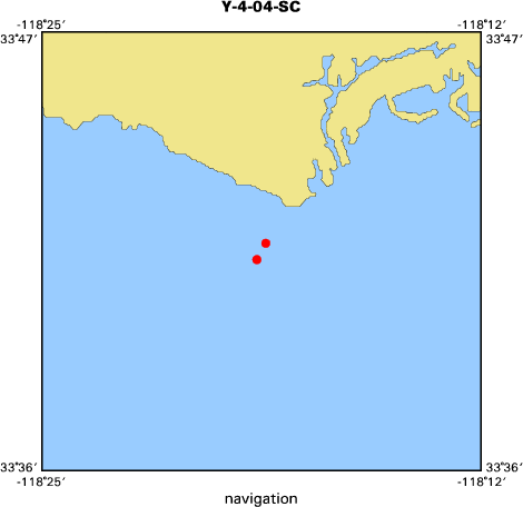
Location map
|

|
|
Bounding Coordinates
|
33.69050
-118.31013 -118.30575
33.68382
|
|
Ports
|
leave Palos Verdes, CA
arrive Palos Verdes, CA
|
|
Dates
|
04/08/2004 (JD 099) to 04/08/2004 (JD 099)
|
|
Analog Materials
|
No analog holdings.
|
|
Index map
|
|
|
Information Specialist
|
|
|
Crew
|
|
Joanne Thede Ferreira
|
Chief Scientist, USGS Menlo Park
|
|
Hal Williams
|
Mechanical Technician, USGS Menlo Park
|
|
Dave Gonzales
|
Electrical Technician, USGS Menlo Park
|
|
|
Equipment Used
|
|
temperature
|
|
CTmeter
|
|
sedimenttrap
|
|
transmissometer
|
|
|
Purpose
|
|
Deployment of subsurface moorings m764 and m765.
|
|
|
Information to be Derived
|
|
Temperature, current, suspended sediments data.
|
|
|
Got Help?
|
For 04062, we would appreciate any information on -- analog materials, contract, days at sea, dive count, funding, kms of navigation, national plan, NGDC Info, notes, owner, project number, publications, scanned materials, seismic description, station count, station description, submersible, summary, tabulated info.
|
|