|
|
|
Metadata
|
|
ID
|
01074
|
|
Also Known As
|
01074
R-1-01-MA
|
|
Abstract
|
Chief Scientists: Bill Schwab, Ilya Bunyevich. Data
(sidescansonar, GPS) of field activity 01074 (R-1-01-MA) in
Marthas Vineyard from 11/12/2001 to 12/01/2001
|
|
Chief Scientist
|
Bill Schwab
Ilya Bunyevich
|
|
Platform
|
Rafael
|
|
Area of Operation
|
Marthas Vineyard
|
|
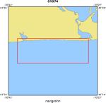
Location map
|
|
|
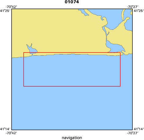
Bounding Coordinates
|
41.35000
-70.67000 -70.48000
41.30000
|
|
Ports
|
leave Woods Hole, MA
arrive Woods Hole, MA
|
|
Dates
|
11/12/2001 (JD 316) to 12/01/2001 (JD 335)
|
|
Analog Materials
|
No analog holdings.
|
|
Index map
|
|
|
Information Specialist
|
|
|
Crew
|
|
Bill Schwab
|
Chief Scientist, USGS Woods Hole
|
|
Ilya Bunyevich
|
Chief Scientist, WHOI
|
|
Tom O'Brien
|
Electronics, USGS Woods Hole
|
|
Bill Danforth
|
Data Acquisition, USGS Woods Hole
|
|
Dave Nichols
|
Boat Handler, USGS Woods Hole
|
|
Ken Parolski
|
Boat Handler, USGS Woods Hole
|
|
Dave Foster
|
Boat Handler, USGS Woods Hole
|
|
|
Equipment Used
|
|
|
Purpose
|
|
Complete sea-floor survey of ONR site
|
|
|
Information to be Derived
|
|
|
Notes
|
|
The intent of this cruise is to finish the survey off Martha's Vineyard.
|
|
There is approximately 8 hours of surveying time necessary to complete objectives.
|
|
|
Got Help?
|
For 01074, we would appreciate any information on -- activity type, analog materials, contract, days at sea, dive count, funding, kms of navigation, national plan, NGDC Info, organization, owner, project, project number, publications, scanned materials, seismic description, station count, station description, submersible, summary, tabulated info.
|
|