|
|
|
Metadata
|
|
ID
|
05049
|
|
Also Known As
|
05049
C-1-05-PR
|
|
Abstract
|
United States Geological Survey, Woods Hole, Massachusetts.
Chief Scientist: Rob Thieler. Data (GPS 2006C GPS+Sounder) of
field activity 05049 (C-1-05-PR) in Rincon, Puerto Rico,
United States, North America, North Atlantic from
12/04/2005 to 12/10/2005
|
|
Organization
|
United States Geological Survey, Woods Hole, Massachusetts
|
|
Project/Theme
|
Rincon Puerto Rico Coastal Erosion Study
Coastal Change Hazards
|
|
Chief Scientist
|
Rob Thieler
|
|
Platform
|
Camille
|
|
Area of Operation
|
Rincon, Puerto Rico, United States, North America, North Atlantic
|
|
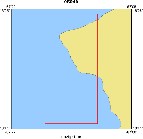
Location map
|

|
|
Bounding Coordinates
|
18.40000
-67.30000 -67.20000
18.20000
|
|
Ports
|
DEC 4, 2005 -
DEC 10, 2005 -
|
|
Dates
|
12/04/2005 (JD 338) to 12/10/2005 (JD 344)
|
|
Analog Materials
|
No analog holdings.
|
|
Index map
|
|
|
Information Specialist
|
|
|
Crew
|
|
Rob Thieler
|
Chief Scientist
|
|
Barry Irwin
|
Geodesist
|
|
Milton Carlo
|
UPR, Captain and Field Scientist
|
|
|
Equipment Used
|
|
|
Purpose
|
|
|
Information to be Derived
|
|
|
Summary
|
|
Shoreline walks with GPS backback for shoreline position; one day bathymetric survey of nearshore
|
|
|
Got Help?
|
For 05049, we would appreciate any information on -- activity type, analog materials, contract, days at sea, dive count, funding, kms of navigation, national plan, NGDC Info, notes, owner, project number, publications, scanned materials, seismic description, station count, station description, submersible, tabulated info.
|
|