|
|
|
Metadata
|
|
ID
|
ERDA92-2
|
|
Also Known As
|
92010
E-3-92-MI
92ER2
|
|
Abstract
|
United States Geological Survey, Woods Hole, Massachusetts.
Chief Scientist: Jack Kindinger. Data (navigation) of field
activity ERDA92-2 (E-3-92-MI) in Mississippi Sound from
06/12/1992 to 06/18/1992
|
|
Organization
|
United States Geological Survey, Woods Hole, Massachusetts
|
|
Project/Theme
|
Mississippi-Alabama Pollution Project
|
|
Chief Scientist
|
Jack Kindinger
|
|
Platform
|
Erda-1
|
|
Area of Operation
|
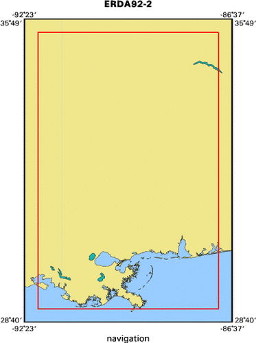
Mississippi Sound
|
|
Location map
|

|
|
Bounding Coordinates
|
35.50000
-92.00000 -87.00000
29.00000
|
|
Dates
|
06/12/1992 (JD 164) to 06/18/1992 (JD 170)
|
|
Analog Materials
|
No analog holdings.
|
|
Index map
|
|
|
Crew
|
|
Jack Kindinger
|
Chief Scientist, USGS St. Petersburg
|
|
Conrad Tome
|
Captain, Argonne Labs, Chicago, IL
|
|
Dana Wiese
|
Unspecified, USGS St. Petersburg
|
|
Steve Oivanki
|
Unspecified, MOG
|
|
|
Equipment Used
|
|
|
Purpose
|
|
|
Publications
|
|
Sanford, J.M., Harrison, A.S., Wiese, D.S., and Flocks, J.G., 2008,
|
|
Archive of Digitized Analog Boomer Seismic Reflection
|
|
Data Collected from Lake Pontchartrain, Louisiana, to Mobile Bay, Alabama,
|
|
During Cruises Onboard the R/V ERDA-1, June and August 1992, U.S. Geological
|
|
Survey Data Series 370
|
|
|
Got Help?
|
For ERDA92-2, we would appreciate any information on -- activity type, analog materials, contract, days at sea, dive count, funding, information specialist, information to be derived, kms of navigation, national plan, NGDC Info, notes, owner, ports, project number, scanned materials, seismic description, station count, station description, submersible, summary, tabulated info.
|
|