|
|
|
Metadata
|
|
ID
|
97002
|
|
Also Known As
|
97002
DEMP97002
D-2-97-LI
|
|
Abstract
|
United States Geological Survey, Woods Hole, Massachusetts.
Chief Scientists: Larry Poppe, Ralph Lewis. Data (navigation)
of field activity 97002 (D-2-97-LI) in Long Island Sound from
03/25/1997 to 03/28/1997
|
|
Organization
|
United States Geological Survey, Woods Hole, Massachusetts
|
|
Chief Scientist
|
Larry Poppe
Ralph Lewis
|
|
Platform
|
Dempsey
|
|
Area of Operation
|
Long Island Sound
|
|
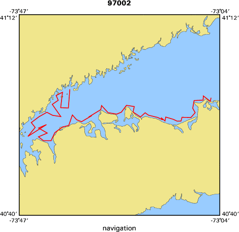
Location map
|

|
|
Bounding Coordinates
|
41.50000
-74.25000 -71.50000
40.50000
|
|
Dates
|
03/25/1997 (JD 084) to 03/28/1997 (JD 087)
|
|
Analog Materials
|
No analog holdings.
|
|
Index map
|
|
|
Crew
|
|
Larry Poppe
|
Chief Scientist, USGS Woods Hole
|
|
Ralph Lewis
|
Chief Scientist, LISRC
|
|
Dann Blackwood
|
Photographer, USGS Woods Hole
|
|
Brent Taylor
|
Technician, USGS Woods Hole
|
|
Mary Digiacomo-Cohen
|
Unspecified, LISRC
|
|
Peter Simpson
|
Captain, CT-DEP
|
|
|
Equipment Used
|
|
|
Purpose
|
|
Geo-bio sample, photo, video, ROV
|
|
|
Publications
|
|
Cruise Report exists at Woods Hole
|
|
|
Got Help?
|
For 97002, we would appreciate any information on -- activity type, analog materials, contract, days at sea, dive count, funding, information specialist, information to be derived, kms of navigation, national plan, NGDC Info, notes, owner, ports, project, project number, scanned materials, seismic description, station count, station description, submersible, summary, tabulated info.
|
|


