|
|
|
Metadata
|
|
ID
|
F-2-05-TB
|
|
Abstract
|
Data (navigation) of field activity F-2-05-TB in Tomales
Bay, CA from 00/00/2005 to 00/00/2005
|
|
Area of Operation
|
Tomales Bay, CA
|
|
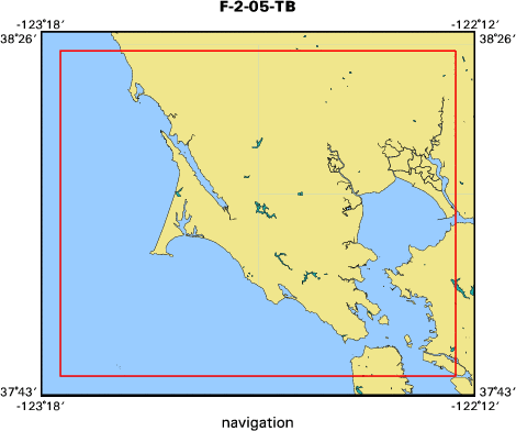
Location map
|

|
|
Bounding Coordinates
|
38.40000
-123.25000 -122.25000
37.75000
|
|
Dates
|
00/00/2005 (JD 000) to 00/00/2005 (JD 000)
|
|
Analog Materials
|
No analog holdings.
|
|
Index map
|
|
|
Equipment Used
|
|
|
Publications
|
|
Anima, R.J., Chin, J.L., Finlayson, D.P., McGann, M.L., and Wong,
|
|
F.L., 2008, Interferometric sidescan bathymetry, sediment and foraminiferal anal
|
|
yses: a new look at Tomales Bay, California, 2007, United States Geological Surv
|
|
ey Open File Report 2007-1237, Available on line at:
|
|
http://pubs.usgs.gov/of/2008/1237/
|
|
|
Got Help?
|
For F-2-05-TB, we would appreciate any information on -- activity type, analog materials, chief scientist, contract, crew, days at sea, dive count, funding, information specialist, information to be derived, kms of navigation, national plan, NGDC Info, notes, organization, owner, platform, ports, project, project number, purpose, scanned materials, seismic description, station count, station description, submersible, summary, tabulated info.
|
|


