|
|
|
Metadata
|
|
ID
|
92017
|
|
Also Known As
|
92017
GEO192-1
G-1-92-LM
|
|
Abstract
|
United States Geological Survey, Woods Hole, Massachusetts.
Chief Scientists: Dave Foster, Andrew Brill. Data
(navigation) of field activity 92017 (G-1-92-LM) in Lake
Michigan from 07/28/1992 to 08/01/1992
|
|
Organization
|
United States Geological Survey, Woods Hole, Massachusetts
|
|
Project/Theme
|
Regional Great Lakes Mapping
Coastal Change Hazards
|
|
Chief Scientist
|
Dave Foster
Andrew Brill
|
|
Platform
|
Geo1
|
|
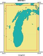
Area of Operation
|
Lake Michigan
|
|
Location map
|
|
|
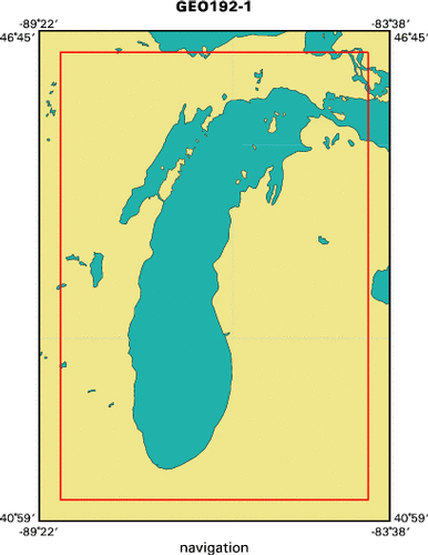
Bounding Coordinates
|
46.50000
-89.00000 -84.00000
41.25000
|
|
Dates
|
07/28/1992 (JD 210) to 08/01/1992 (JD 214)
|
|
Analog Materials
|
No analog holdings.
|
|
Index map
|
|
|
Crew
|
|
Dave Foster
|
Chief Scientist, USGS Woods Hole
|
|
Andrew Brill
|
Chief Scientist, USGS Woods Hole
|
|
Barry Irwin
|
Navigator, USGS Woods Hole
|
|
R. Laton
|
Unspecified, W. Michigan Univ.
|
|
D. Sang
|
Unspecified, W. Michigan Univ.
|
|
M. Kovacich
|
Unspecified, W. Michigan Univ.
|
|
|
Equipment Used
|
|
|
Purpose
|
|
|
Publications
|
|
Cruise Report exists at Woods Hole
|
|
|
Got Help?
|
For 92017, we would appreciate any information on -- activity type, analog materials, contract, days at sea, dive count, funding, information specialist, information to be derived, kms of navigation, national plan, NGDC Info, notes, owner, ports, project number, scanned materials, seismic description, station count, station description, submersible, summary, tabulated info.
|
|