|
|
|
Metadata
|
|
ID
|
93026
|
|
Also Known As
|
93026
DEMP93-1
D-1-93-LI
|
|
Abstract
|
United States Geological Survey, Woods Hole, Massachusetts.
Chief Scientists: Larry Poppe, Dave Twichell, Ralph Lewis,
Roman Zajac. Data (navigation) of field activity 93026
(D-1-93-LI) in Long Island Sound West Connecticut from
11/05/1993 to 11/21/1993
|
|
Organization
|
United States Geological Survey, Woods Hole, Massachusetts
|
|
Project/Theme
|
Connecticut Cooperative
|
|
Chief Scientist
|
Larry Poppe
Dave Twichell
Ralph Lewis
Roman Zajac
|
|
Platform
|
Dempsey
|
|
Area of Operation
|
Long Island Sound West Connecticut
|
|
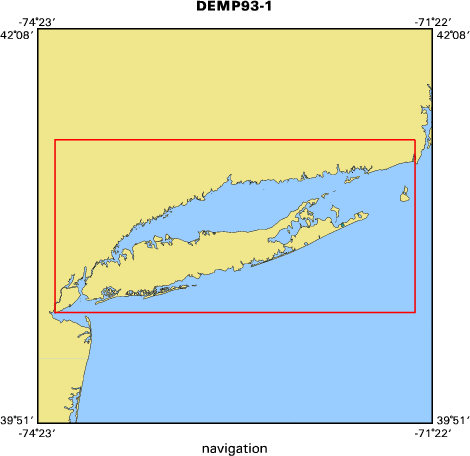
Location map
|

|
|
Bounding Coordinates
|
41.50000
-74.25000 -71.50000
40.50000
|
|
Dates
|
11/05/1993 (JD 309) to 11/21/1993 (JD 325)
|
|
Analog Materials
|
No analog holdings.
|
|
Index map
|
|
|
Crew
|
|
Larry Poppe
|
Chief Scientist, USGS Woods Hole
|
|
Dave Twichell
|
Chief Scientist, USGS Woods Hole
|
|
Ralph Lewis
|
Chief Scientist, CGS
|
|
Roman Zajac
|
Chief Scientist, U. New Haven
|
|
Peter Simpson
|
Captain, CT-Dep
|
|
Dave Nichols
|
Unspecified, USGS Woods Hole
|
|
Veeann Cross
|
Unspecified, USGS Woods Hole
|
|
Mary Digiacomo-Cohen
|
Unspecified, CGS
|
|
Suzanne O'Connell
|
Unspecified, Wesleyan U.
|
|
Peter Auster
|
Unspecified, UConn
|
|
|
Equipment Used
|
|
|
Purpose
|
|
|
Information to be Derived
|
|
Habitat maps; Sea Floor Map
|
|
|
Notes
|
|
DGPS, Megapulse LORAN-C, Klein dual-frequency sidescan system, Q-MIPS, Dec and Sun workstations, 3.5 kHz profiler
|
|
|
Publications
|
|
Cruise Report exists at Woods Hole
|
|
|
Got Help?
|
For 93026, we would appreciate any information on -- activity type, analog materials, contract, days at sea, dive count, funding, information specialist, kms of navigation, national plan, NGDC Info, owner, ports, project number, scanned materials, seismic description, station count, station description, submersible, summary, tabulated info.
|
|


