|
|
|
Metadata
|
|
ID
|
T-B1-86-NC
|
|
Abstract
|
United States Geological Survey, Menlo Park, California.
Chief Scientist: Ed Clifton. Data (rapidsedimentanalysis) of
field activity T-B1-86-NC in Thornton Beach to Wood Gulch,
Daly City, California from 07/10/1986 to 07/22/1986
|
|
Organization
|
United States Geological Survey, Menlo Park, California
|
|
Chief Scientist
|
Ed Clifton
|
|
Area of Operation
|
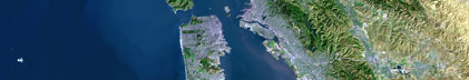
Thornton Beach to Wood Gulch, Daly City, California
|
|
Location map
|

|
|
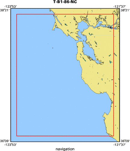
Bounding Coordinates
|
38.25000
-123.75000 -121.75000
36.25000
|
|
Dates
|
07/10/1986 (JD 191) to 07/22/1986 (JD 203)
|
|
Analog Materials
|
No analog holdings.
|
|
Index map
|
|
|
Crew
|
|
Ed Clifton
|
Chief Scientist, USGS Western Region
|
|
|
Equipment Used
|
|
|
Purpose
|
|
Sampling and sediment analysis of Merced Formation, from Thornton Beach
|
|
to Wood Gulch, Daly City
|
|
|
Notes
|
|
Beach sampling, no vessels used.
|
|
|
Got Help?
|
For T-B1-86-NC, we would appreciate any information on -- activity type, analog materials, contract, days at sea, dive count, funding, information specialist, information to be derived, kms of navigation, national plan, NGDC Info, owner, platform, ports, project, project number, publications, scanned materials, seismic description, station count, station description, submersible, summary, tabulated info.
|
|