
|
|
|
|
Metadata
|
|
ID
|
08007
|
|
Also Known As
|
T-1-08-LI
08007
|
|
Abstract
|
United States Geological Survey, Woods Hole, Massachusetts.
Chief Scientist: John Bratton. Continuous Resistivity and
Geochemical Sampling data (Continuous Resistivity Profiling,
Navigation-GPS, Piezometers, Radon monitors, Seepage meters,
Sensors-temperature & salinity, Water pump) of field activity
08007 (T-1-08-LI) in New York Bight, New York, New Jersey,
United States, North America, North Atlantic Great South Bay,
Long Island, Long Island Sound, New York, Connecticut, United
States, North America, North Atlantic from 05/05/2008 to
05/23/2008
|
|
Organization
|
United States Geological Survey, Woods Hole, Massachusetts
|
|
Project/Theme
|
Assess Nitrogen West LI
|
|
Chief Scientist
|
John Bratton
|
|
Activity Type
|
Continuous Resistivity and Geochemical Sampling
|
|
Platform
|
Terrapin
|
|
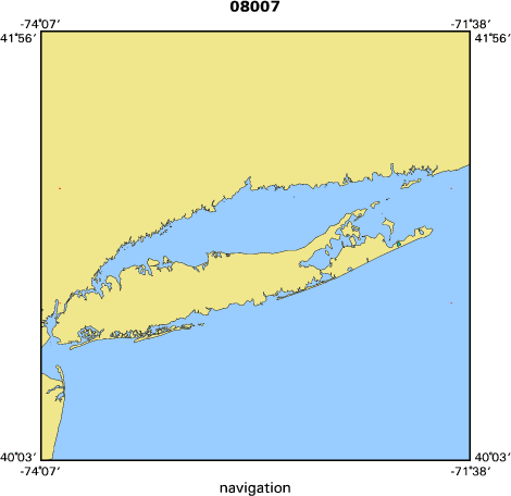
Area of Operation
|
New York Bight, New York, New Jersey, United States, North America, North Atlantic Great South Bay, Long Island, Long Island Sound, New York, Connecticut, United States, North America, North Atlantic
|
|
Location map
|

|
|
Bounding Coordinates
|
41.25000
-74.00000 -71.75000
40.75000
|
|
Ports
|
LEAVE Huntington Harbor, NY
ARRIVE Patchogue, NY
|
|
Dates
|
05/05/2008 (JD 126) to 05/23/2008 (JD 144)
|
|
Analog Materials
|
No analog holdings.
|
|
Index map
|
|
|
Information Specialist
|
|
|
Crew
|
|
John Bratton
|
Chief Scientist
|
|
Bratton
|
planning and oversight, CRP
|
|
Crusius
|
planning and
|
|
oversight
|
radioisotopes
|
|
Kroeger
|
planning and oversight, nutrient
|
|
biogeochemistry
|
|
Worley
|
CRP operations; Cross, CRP navigation and
|
|
GIS
|
|
Green
|
boat driving and tech support; Baldwin, tech support;
|
|
Erban
|
tech support
|
|
Casso
|
tech support;
|
|
|
Equipment Used
|
|
Continuous Resistivity Pr
|
(ofiling)
|
|
Navigation-GPS
|
|
Piezometers
|
|
Radon monitors
|
|
Seepage meters
|
|
Sensors-temperature & sal
|
(inity)
|
|
Water pump
|
|
|
Purpose
|
|
Continuous resistivity profiling and geochemical sampling
|
|
|
Information to be Derived
|
|
Times series data;Samples and Chemical Analysis;Sub-bottom
|
|
resistivity profiles
|
|
|
Summary
|
|
Collected resistivity data and geochemical samples to
|
|
identify sites and rates of submarine groundwater discharge (SGD) to
|
|
the coastal ocean. Data gathered included resistivity profiles,
|
|
ground water and surface water geochemical data (temp, salinity) and
|
|
samples to be analyzed for nutrients, radioisotopes, and trace
|
|
metals.
|
|
|
Notes
|
Navigation technique: GPS.
|
|
Work is funded by multiple tasks within Coastal Groundwater
|
|
Systems project
|
|
18 days at sea.
|
|
233 kms. of continuous data.
|
|
51 stations occupied.
|
|
|
Funding
|
|
USGS-CMGP, NFWF, USGS-NPS-WQPP
|
|
|
Got Help?
|
For 08007, we would appreciate any information on -- analog materials, contract, days at sea, dive count, kms of navigation, national plan, NGDC Info, owner, project number, publications, scanned materials, seismic description, station count, station description, submersible, tabulated info.
|
|


