|
|
|
Metadata
|
|
ID
|
04052
|
|
Also Known As
|
04052
R-1-04-RI
|
|
Abstract
|
United States Geological Survey, Woods Hole, Massachusetts.
Chief Scientists: Thomas O Brien, USGS Woods Hole, John
Masterson WRD. Data (Navigation-Hypack, highres boomer) of
field activity 04052 (R-1-04-RI) in Pt. Judith to Westerly RI
from 11/03/2004 to 11/04/2004
|
|
Organization
|
United States Geological Survey, Woods Hole, Massachusetts
|
|
Chief Scientist
|
Thomas O Brien
John Masterson WRD
|
|
Platform
|
Rafael
|
|
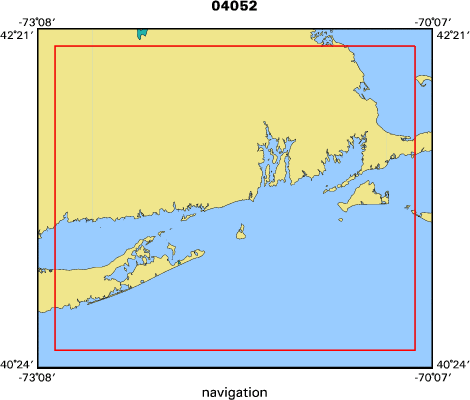
Area of Operation
|
Pt. Judith to Westerly RI
|
|
Location map
|

|
|
Bounding Coordinates
|
42.25000
-73.00000 -70.25000
40.50000
|
|
Ports
|
NOV 3, 2004 - Pt. Judith, RI
NOV 4, 2004 - Pt. Judith RI
|
|
Dates
|
11/03/2004 (JD 308) to 11/04/2004 (JD 309)
|
|
Analog Materials
|
No analog holdings.
|
|
Index map
|
|
|
Information Specialist
|
|
|
Crew
|
|
Tom O'Brien
|
|
John Masterson
|
WRD, Chief Scientist
|
|
Barry Irwin
|
Navigator, boat operator; Thomas O Brien, Field engineer
|
|
John Masterson
|
WRD Scientist, Chief Scientist
|
|
|
Equipment Used
|
|
Navigation-Hypack
|
|
highres boomer
|
|
|
Purpose
|
|
Assist WRD Northborough with seismic profiling equipment
|
|
|
Information to be Derived
|
|
|
Got Help?
|
For 04052, we would appreciate any information on -- activity type, analog materials, contract, days at sea, dive count, funding, kms of navigation, national plan, NGDC Info, notes, owner, project, project number, publications, scanned materials, seismic description, station count, station description, submersible, summary, tabulated info.
|
|