|
|
|
Metadata
|
|
ID
|
03033
|
|
Also Known As
|
03033
G-1-03-WA
G103WA
|
|
Abstract
|
University of Oregon,United States Geological Survey, Woods
Hole, Massachusetts,United States Geological Survey, St.
Petersburg, Florida,United States Geological Survey, Central
Region. Chief Scientist: Steve Colman. Data (Chirp, GPS,
core) of field activity 03033 (G-1-03-WA) in Gillette Lake,
WA from 06/16/2003 to 06/22/2003
|
|
Organization
|
University of Oregon
United States Geological Survey, Woods Hole, Massachusetts
United States Geological Survey, St. Petersburg, Florida
United States Geological Survey, Central Region
|
|
Project/Theme
|
Lake and Catchments Systems (LACS)
|
|
Chief Scientist
|
Steve Colman
|
|
Platform
|
Gill
|
|
Area of Operation
|
Gillette Lake, WA
|
|
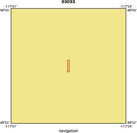
Location map
|

|
|
Bounding Coordinates
|
48.63000
-117.54333 -117.54000
48.61167
|
|
Ports
|
leave Colville, WA
arrive Colville, WA
|
|
Dates
|
06/16/2003 (JD 167) to 06/22/2003 (JD 173)
|
|
Analog Materials
|
No analog holdings.
|
|
Index map
|
|
|
Crew
|
|
Steve Colman
|
Chief Scientist, USGS Woods Hole
|
|
Dana Wiese
|
ET, USGS St. Petersburg
|
|
Jeff Honke
|
Scientist, USGS Denver
|
|
Gary Skipp
|
Scientist, USGS Denver
|
|
Cathy Whitlock
|
Scientist, U. of Oregon
|
|
|
Equipment Used
|
|
|
Purpose
|
|
Chirp subbottom survey of Gillette Lake, WA in preparation for coring;
|
|
coring with USGS-Denver and university collaborators.
|
|
|
Information to be Derived
|
|
Seismic stratigraphy;lithology from cores.
|
|
|
Summary
|
|
Seismic grid of lake; multiple short cores (<1 m) and one long (ca. 8
|
|
m) core.
|
|
|
Notes
|
|
Navigation Techniques: WAS GPS
|
|
|
Got Help?
|
For 03033, we would appreciate any information on -- activity type, analog materials, contract, days at sea, dive count, funding, information specialist, kms of navigation, national plan, NGDC Info, owner, project number, publications, scanned materials, seismic description, station count, station description, submersible, tabulated info.
|
|