|
|
|
Metadata
|
|
ID
|
04058
|
|
Also Known As
|
S-1-04-SC
04058
|
|
Abstract
|
United States Geological Survey, Menlo Park, California.
Chief Scientist: Jingping Xu. Deployment data (tripod,
instrumentmooring) of field activity 04058 (S-1-04-SC) in
Scripps Marine Facility, Palos Verdes shelf from 02/09/2004
to 02/17/2004
|
|
Organization
|
United States Geological Survey, Menlo Park, California
|
|
Project/Theme
|
EPA Palos Verdes 2004 Project
|
|
Chief Scientist
|
Jingping Xu
|
|
Activity Type
|
Deployment
|
|
Platform
|
Robert Gordon Sproul
|
|
Area of Operation
|
Scripps Marine Facility, Palos Verdes shelf
|
|
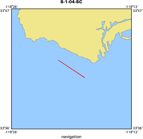
Location map
|

|
|
Bounding Coordinates
|
33.70927
-118.35603 -118.30880
33.68307
|
|
Ports
|
leave San Diego, CA
arrive San Diego, CA
|
|
Dates
|
02/09/2004 (JD 040) to 02/17/2004 (JD 048)
|
|
Analog Materials
|
list
|
|
Index map
|
|
|
Information Specialist
|
|
|
Crew
|
|
Jingping Xu
|
Chief Scientist, CMG
|
|
Joanne Thede Ferreira
|
Technician, CMG
|
|
Dave Gonzales
|
E.T., CMG
|
|
Hal Williams
|
M.T., CMG
|
|
Kevin Orzech
|
Geologist, CMG
|
|
Mike Torresan
|
Unspecified, CMG
|
|
Walter Olson
|
Unspecified, CMG
|
|
Lori Hibbler
|
Unspecified, CMG
|
|
Anne Gartner
|
Unspecified, CMG
|
|
|
Equipment Used
|
|
|
Purpose
|
|
Deployment of 2 tripods, one subsurface and 2 surface moorings.
|
|
|
Information to be Derived
|
|
Data on waves, turbulence, current circulations, sediment resuspension.
|
|
|
Summary
|
|
This is a cruise for deploying 2 tripods, one subsurface and 2 surface
|
|
moorings to measure waves, turbulence, current circulations, sediment
|
|
resuspension, and other parameters related to EPA's pilot capping on PV shelf.
|
|
|
Got Help?
|
For 04058, we would appreciate any information on -- contract, days at sea, dive count, funding, kms of navigation, national plan, NGDC Info, notes, owner, project number, publications, scanned materials, seismic description, station count, station description, submersible, tabulated info.
|
|