|
|
|
Metadata
|
|
ID
|
95037
|
|
Also Known As
|
95037
CHAT95037
H-37-95-NR
|
|
Abstract
|
United States Geological Survey, Woods Hole, Massachusetts.
Chief Scientist: Tom O'Brien. Data (navigation) of field
activity 95037 (H-37-95-NR) in North Carolina Cape Hatteras
from 09/06/1995 to 10/19/1995
|
|
Organization
|
United States Geological Survey, Woods Hole, Massachusetts
|
|
Chief Scientist
|
Tom O'Brien
|
|
Platform
|
Cape Hatteras
|
|
Area of Operation
|
North Carolina Cape Hatteras
|
|
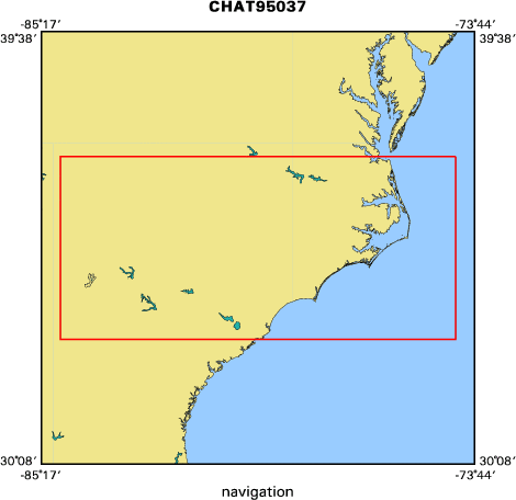
Location map
|

|
|
Bounding Coordinates
|
37.00000
-84.75000 -74.25000
33.00000
|
|
Dates
|
09/06/1995 (JD 249) to 10/19/1995 (JD 292)
|
|
Analog Materials
|
No analog holdings.
|
|
Index map
|
|
|
Crew
|
|
Tom O'Brien
|
Chief Scientist, USGS Woods Hole
|
|
Greg Miller
|
Tech, USGS Woods Hole
|
|
Bill Danforth
|
Tech, USGS Woods Hole
|
|
Barry Irwin
|
Tech, USGS Woods Hole
|
|
Larry Kooker
|
Tech, USGS Western Region
|
|
Fred Hegg
|
Tech, Datasonics
|
|
Dick Ogus
|
Captain, Cape Hatteras
|
|
|
Equipment Used
|
|
|
Purpose
|
|
|
Publications
|
|
Cruise Report exists at Woods Hole
|
|
|
Got Help?
|
For 95037, we would appreciate any information on -- activity type, analog materials, contract, days at sea, dive count, funding, information specialist, information to be derived, kms of navigation, national plan, NGDC Info, notes, owner, ports, project, project number, scanned materials, seismic description, station count, station description, submersible, summary, tabulated info.
|
|


