| Navassa Island Home |
| Explore Navassa |
| take a Tour: |
| geology | biology | history |
| or Explore: |
| fly | sail | hike | scuba |
 Navassa Location Map |
| Explore Navassa - Geology |
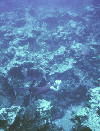
| Sea Floor - West Coast - Filming the Rock Surface |
Filming an irregular rock surface on the southwest side of the island. [large version: 300KB]

| Geology - Photo Index | ||||||
|
Sea Floor sea floor sea floor sculpted rock irregular floor eroded boulder Terraces rock terrace upper terrace upper terrace terraces terrace karst terrace karst terrace karst |
lower terrace terrace slope sea cliffs sea cliffs boulders boulders cliff face cliff face detail Caves Vertical Cave cave entrance climbing down Vertical Cave vertical cave |
Cliff Cave down the cliff cave entrance in the cave cave wall cave water cave pool Undersea Cave submarine cave Phosphate phosphate sand oolites fractured rock phosphorite |
rock samples solution crack speleothems Fossil Corals fossil coral fossil coral fossil coral fossil coral Erosion eroded coast solution hole solution holes |
|||
U.S. Department of the Interior, U.S. Geological Survey, Coastal and Marine Geology Program
http://coastal.er.usgs.gov/navassa/geology/seafloor4.html
Maintaned by Trent Faust - Webmaster
Updated August 19, 2000 @ 04:27 PM (THF)
