|
 |
|
|
|
|
 |
Oblique Aerial
Photography Index: |
|
|
|
|
|
|
|
Area 2 |

|
|
|
|
|
|
|
|
|
|
 |
|
|
|
|
|
|
|
| |
|
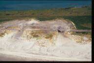
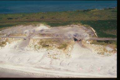
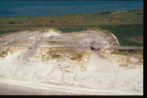
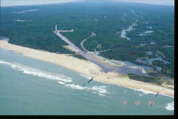
Beneath each image at right are links to different size
versions of that image: |
|
TI=TIny
[96x64, 1-2KB] |
|
TH=THumb
[192x128, 3-5KB] |
|
S=Small
[384x256, 8-14KB]
(shown here) |
|
M=Medium
[768x512, 17-38KB] |
|
L=Large
[1536x1024, 80-170KB] |
|
XL=XLarge
[3054x2048, 340-650KB] |
|
|
|
| |

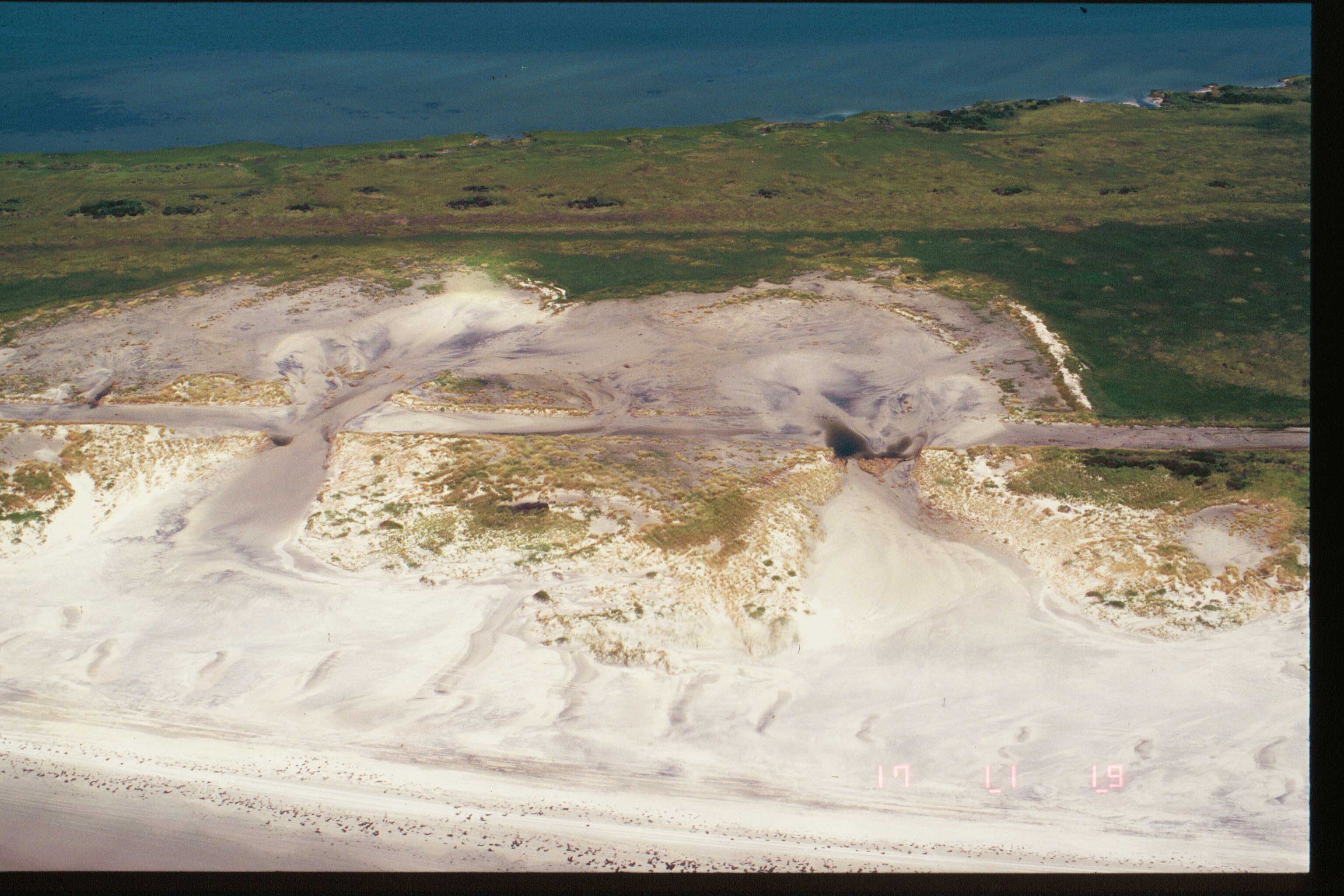
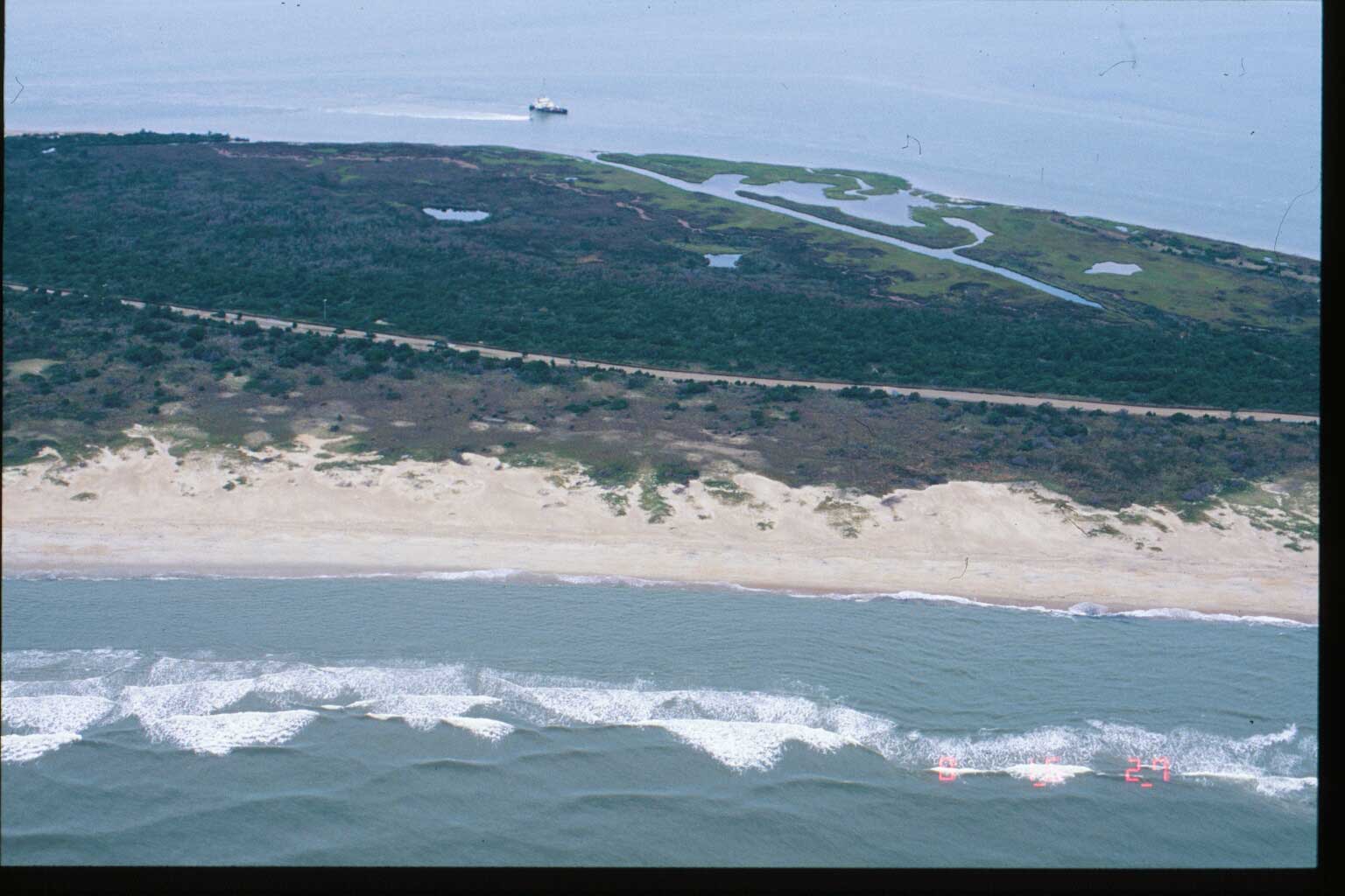
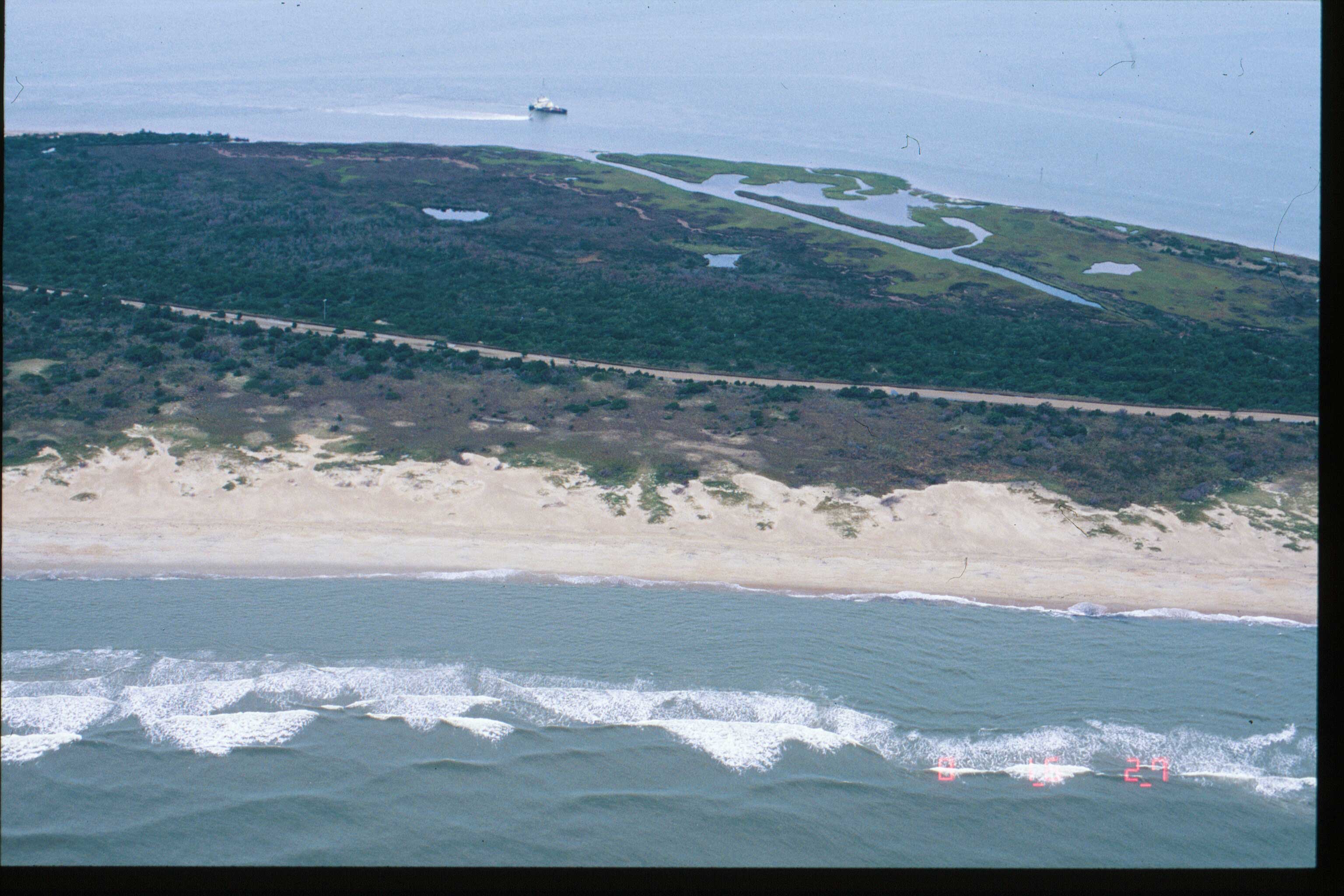
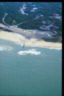
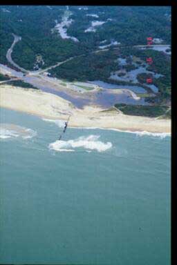
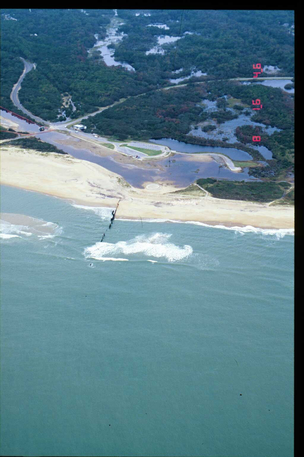
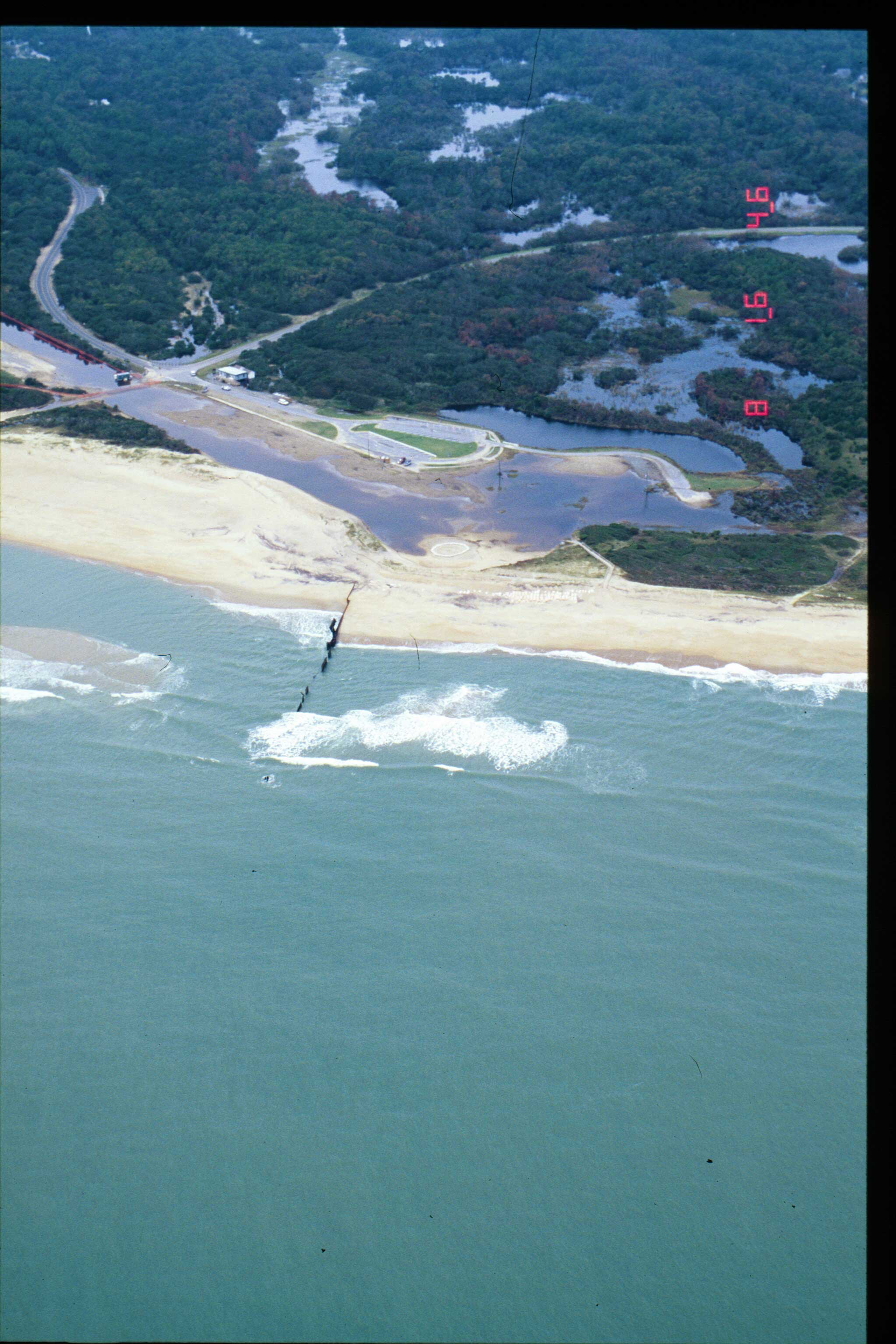
Area 2 Airphoto Map: Click on any numbered location on the map above to view the
photo pairs for that location. |
| |
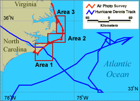
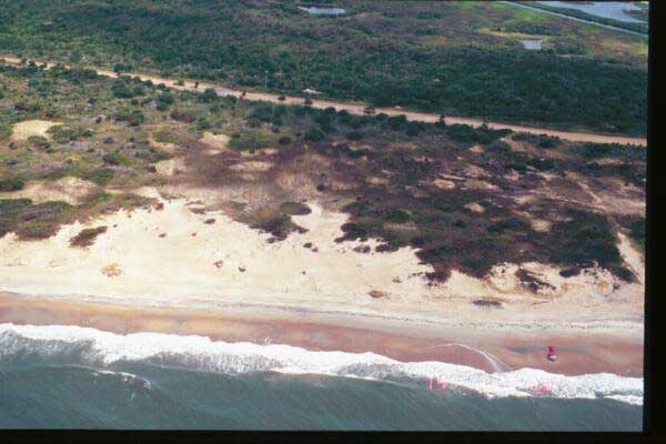
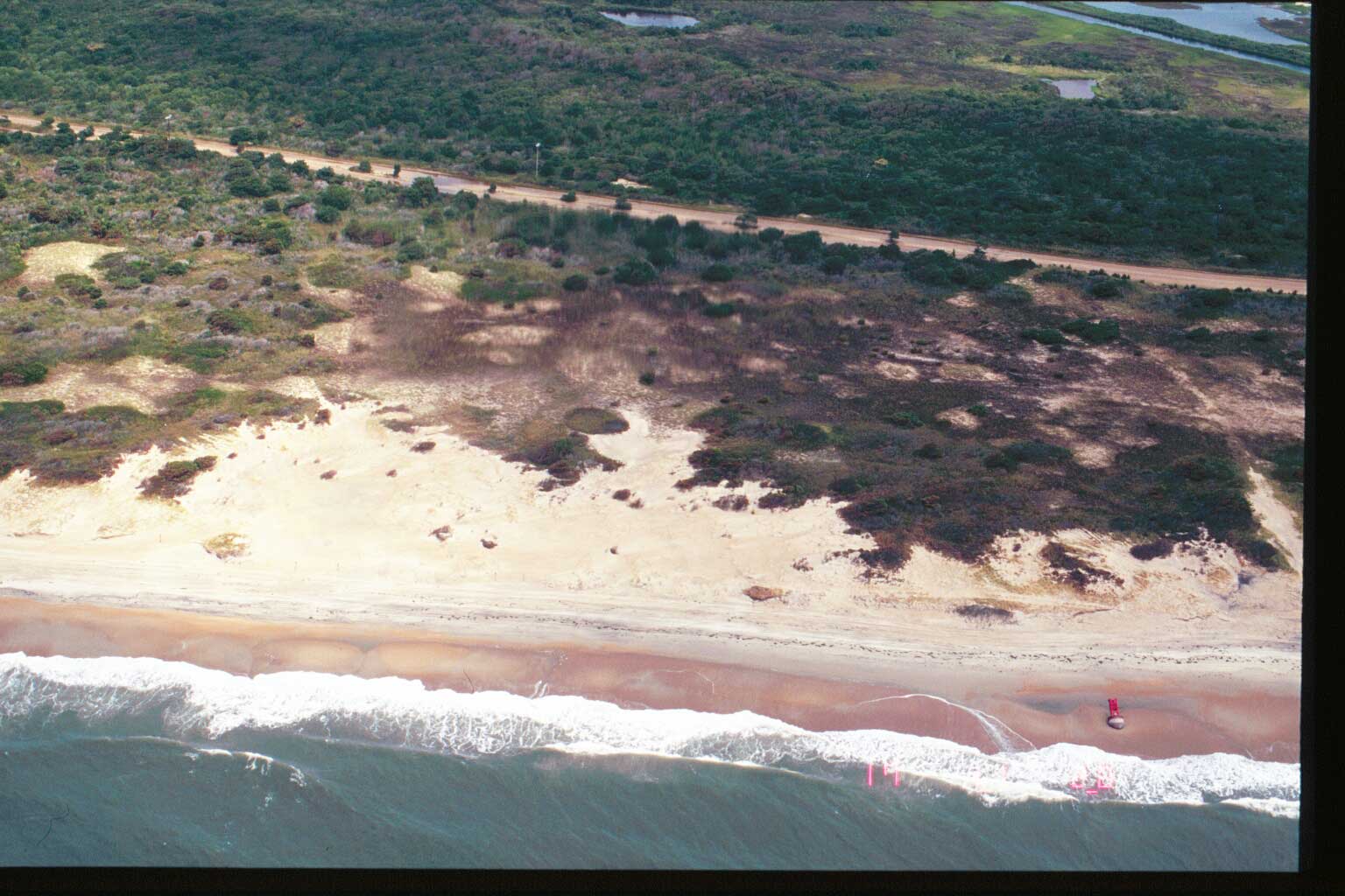
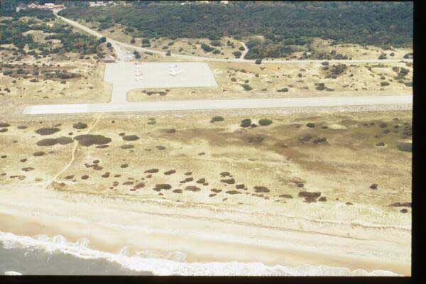
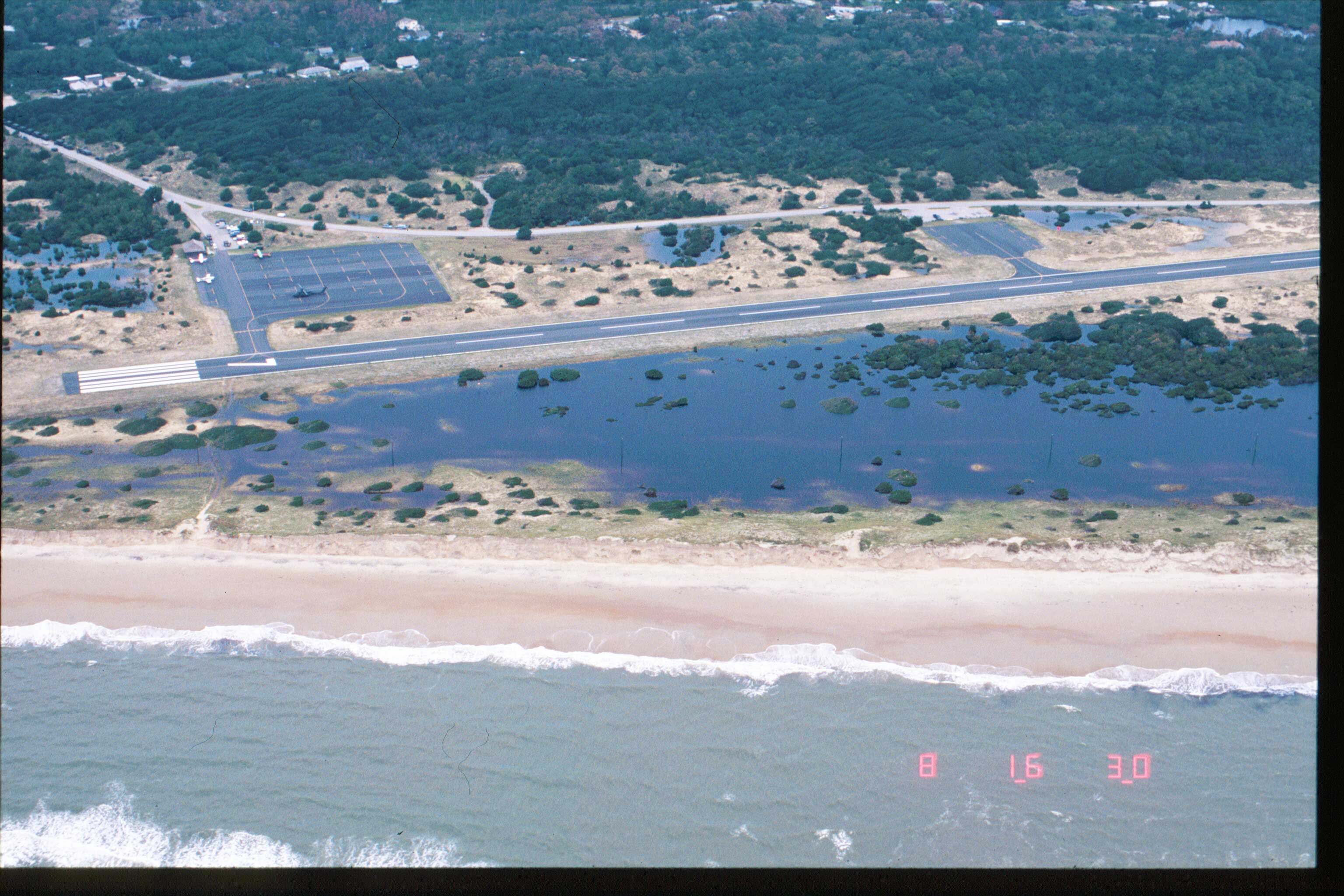
Storm Response Flight Airphotos: Click on a boxed area on the map above
to view the index of pre- and post-storm airphotos in that area. |
|


