|
|
|
Metadata
|
|
ID
|
F-2-08-MB
|
|
Abstract
|
United States Geological Survey, Pacific Science Center.
Chief Scientists: Curt Storlazzi, Christopher Conaway.
Sediment trap and oceanographic instrument recovery and
redeployment data (tempsalinometer, sedimenttrap) of field
activity F-2-08-MB in Monterey Bay from 12/10/2008 to
12/10/2008
|
|
Organization
|
United States Geological Survey, Pacific Science Center
|
|
Project/Theme
|
Brown-2-Blue Mendenhall and Benthic Habitats
|
|
Chief Scientist
|
Curt Storlazzi
Christopher Conaway
|
|
Activity Type
|
sediment trap and oceanographic instrument recovery and redeployment
|
|
Platform
|
Frontier
|
|
Area of Operation
|
Monterey Bay
|
|
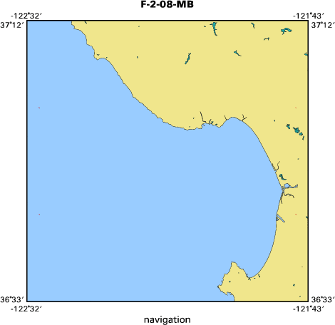
Location map
|

|
|
Bounding Coordinates
|
37.00000
-122.50000 -121.75000
36.75000
|
|
Ports
|
LEAVE Santa Cruz Harbor
ARRIVE Santa Cruz Harbor
|
|
Dates
|
12/10/2008 (JD 345) to 12/10/2008 (JD 345)
|
|
Analog Materials
|
No analog holdings.
|
|
Index map
|
|
|
Information Specialist
|
|
|
Crew
|
|
Curt Storlazzi
|
chief scientist, diver, USGS-PSC
|
|
Christopher Conaway
|
co-chief scientist, USGS-PSC
|
|
Josh Logan
|
vessel captain, diver, USGS-PSC
|
|
Jackson Currie
|
mechanical technician, USGS-PSC
|
|
|
Equipment Used
|
|
tempsalinometer
|
|
sedimenttrap
|
|
|
Purpose
|
|
Collect oceanographic data and suspended sediment samples to understand
|
|
influence of storms and floods on nearshore ecosystems
|
|
|
Information to be Derived
|
|
temperature, salinity, sediment grain size, sediment composition, sediment geochemistry
|
|
|
Notes
|
|
|
Got Help?
|
For F-2-08-MB, we would appreciate any information on -- analog materials, contract, days at sea, dive count, funding, kms of navigation, national plan, NGDC Info, owner, project number, publications, scanned materials, seismic description, station count, station description, submersible, summary, tabulated info.
|
|