|
|
|
|
Metadata
|
|
ID
|
08CCT03
|
|
Also Known As
|
S-3-08-MI
|
|
Abstract
|
United States Geological Survey, Saint Petersburg, Florida,
Center for Coastal and Watershed Studies, Coastal and Marine
Geology Program. Chief Scientist: Jim Flocks. Swath Bathy,
CHIRP sub-bottom data of field activity 08CCT03 (S-3-08-MI)
in Horn Island, Mississippi from 09/15/2008 to 09/28/2008
|
|
Organization
|
United States Geological Survey, Saint Petersburg, Florida, Center for Coastal and Watershed Studies, Coastal and Marine Geology Program
|
|
Project/Theme
|
Northern Gulf Coast Ecosystem Change and Hazard Susceptibility Project/Coastal Change and Transport
|
|
Chief Scientist
|
Jim Flocks
|
|
Activity Type
|
Swath Bathy, CHIRP sub-bottom
|
|
Platform
|
Survey Cat
|
|
Area of Operation
|
Horn Island, Mississippi
|
|
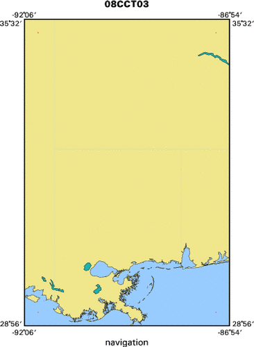
Location map
|

|
|
Bounding Coordinates
|
35.25000
-91.75000 -87.25000
29.25000
|
|
Ports
|
LEAVE Biloxi, MS
ARRIVE Biloxi, MS
|
|
Dates
|
09/15/2008 (JD 259) to 09/28/2008 (JD 272)
|
|
Analog Materials
|
No analog holdings.
|
|
Index map
|
|
|
Information Specialist
|
|
|
Purpose
|
|
To create a complete modern topobathymetric map of the Mississippi barrier
|
|
islands. Data to provide information for the following: sediment budget;
|
|
assessment of immediate sand resources in the region, modern geologic
|
|
framework; historical island change measurements; base-level assessment of the
|
|
seafloor since the 2005 hurricane season
|
|
|
Information to be Derived
|
|
Submetrix swath bathymetry data; sub-bottom image profiles.
|
|
|
Notes
|
|
N. DeWitt, B.J. Reynolds, D. Wiese
|
|
|
Got Help?
|
For 08CCT03, we would appreciate any information on -- analog materials, contract, crew, days at sea, dive count, equipment used, funding, kms of navigation, national plan, NGDC Info, owner, project number, publications, scanned materials, seismic description, station count, station description, submersible, summary, tabulated info.
|
|