|
|
|
Metadata
|
|
ID
|
08GFP02
|
|
Also Known As
|
C-2-08-FL
|
|
Abstract
|
United States Geological Survey, Saint Petersburg, Florida,
Center for Coastal and Watershed Studies, Coastal and Marine
Geology Program. Chief Scientist: Dana Wiese. Swath
Interferometric Bathymetric data (SwathPlus, F190, DGPS/IMU,
TSS DMS05) of field activity 08GFP02 (C-2-08-FL) in Tampa
bay, FL from 05/19/2008 to 05/23/2008
|
|
Organization
|
United States Geological Survey, Saint Petersburg, Florida, Center for Coastal and Watershed Studies, Coastal and Marine Geology Program
|
|
Project/Theme
|
SwathPlus +H 468 KHz Interferometric System
|
|
Chief Scientist
|
Dana Wiese
|
|
Activity Type
|
Swath Interferometric Bathymetric
|
|
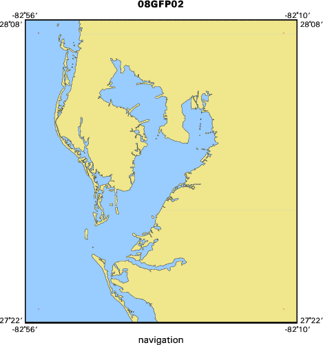
Area of Operation
|
Tampa bay, FL
|
|
Location map
|

|
|
Bounding Coordinates
|
28.10000
-82.90000 -82.20000
27.40000
|
|
Ports
|
LEAVE St. Petersburg, FL
ARRIVE St. Petersburg, FL
|
|
Dates
|
05/19/2008 (JD 140) to 05/23/2008 (JD 144)
|
|
Analog Materials
|
No analog holdings.
|
|
Index map
|
|
|
Information Specialist
|
|
|
Crew
|
|
Nancy Dewitt
|
co-PI
|
|
Mark Hansen
|
Co PI
|
|
|
Equipment Used
|
|
SwathPlus
|
|
F190
|
|
DGPS/IMU
|
|
TSS DMS05
|
|
|
Purpose
|
|
System checkout/training/processing
|
|
|
Information to be Derived
|
|
System Trial Channel Survey, Tank Survey
|
|
|
Summary
|
|
|
Notes
|
|
|
Got Help?
|
For 08GFP02, we would appreciate any information on -- analog materials, contract, days at sea, dive count, funding, kms of navigation, national plan, NGDC Info, owner, platform, project number, publications, scanned materials, seismic description, station count, station description, submersible, tabulated info.
|
|