FISC - St. Petersburg
Center for Coastal and Watershed Studies >
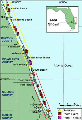
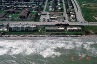
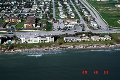
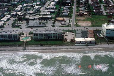
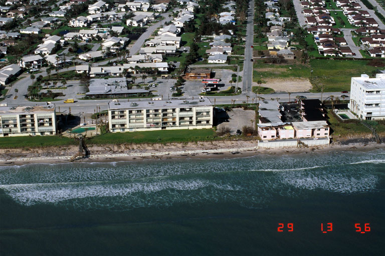
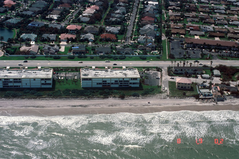
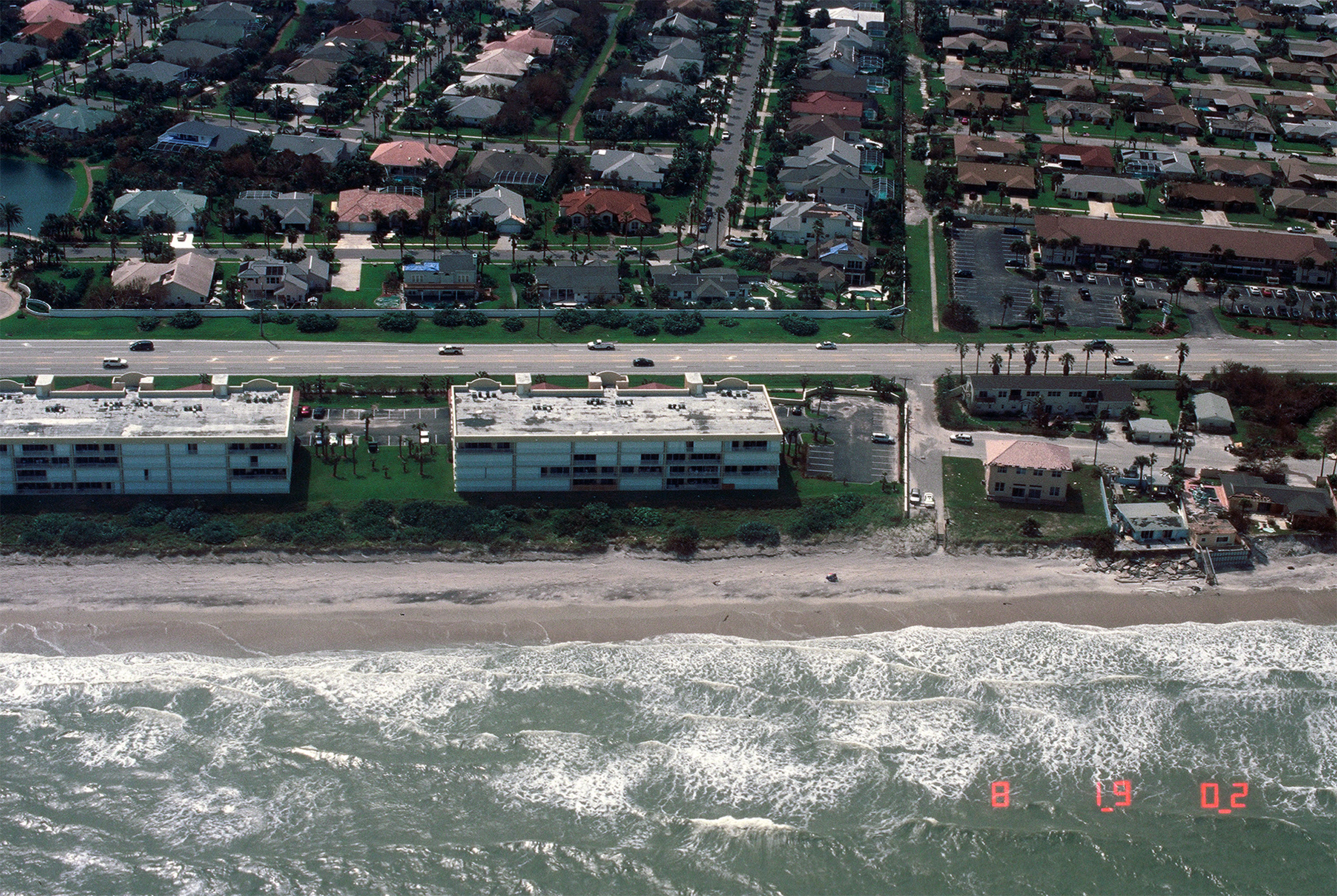
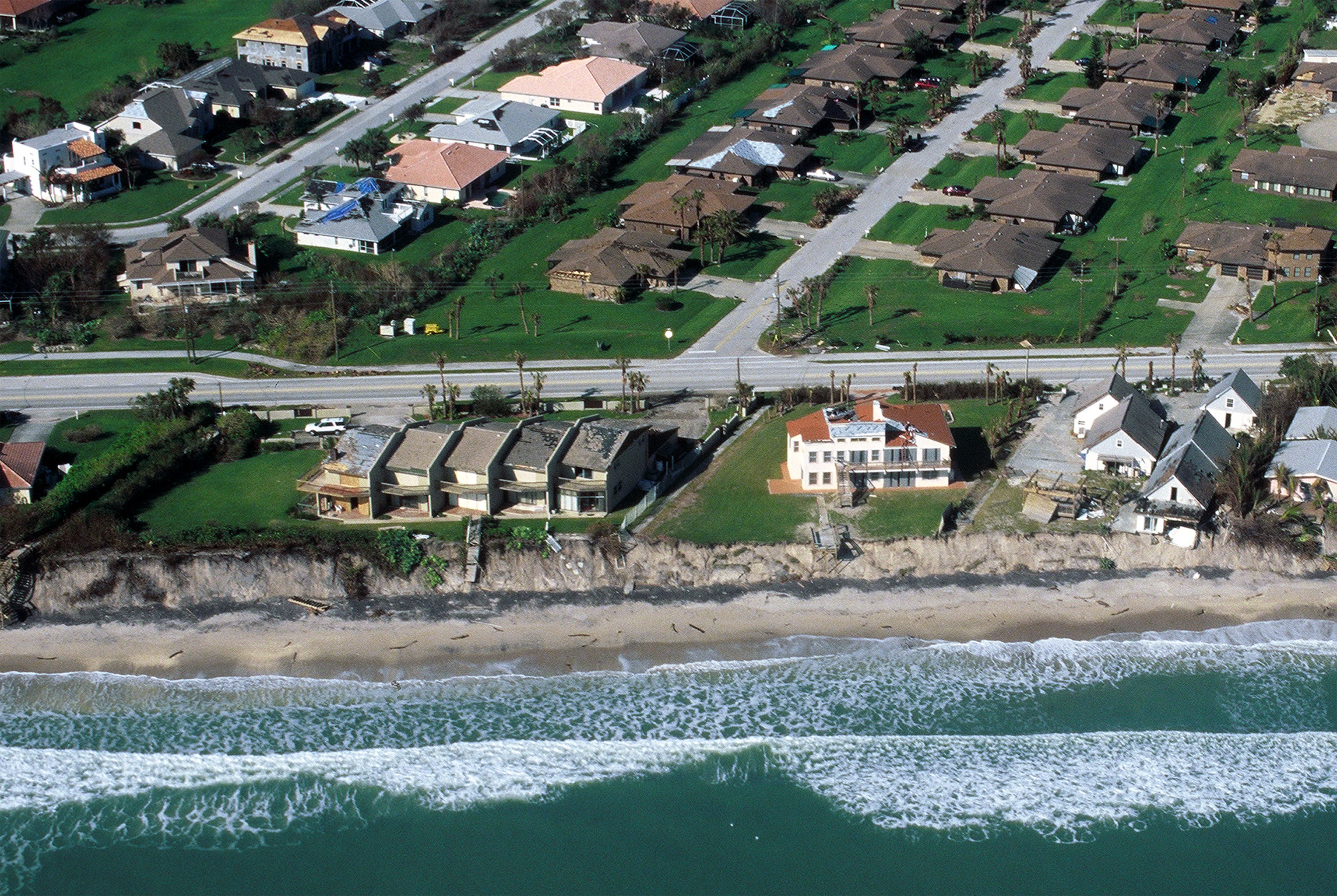
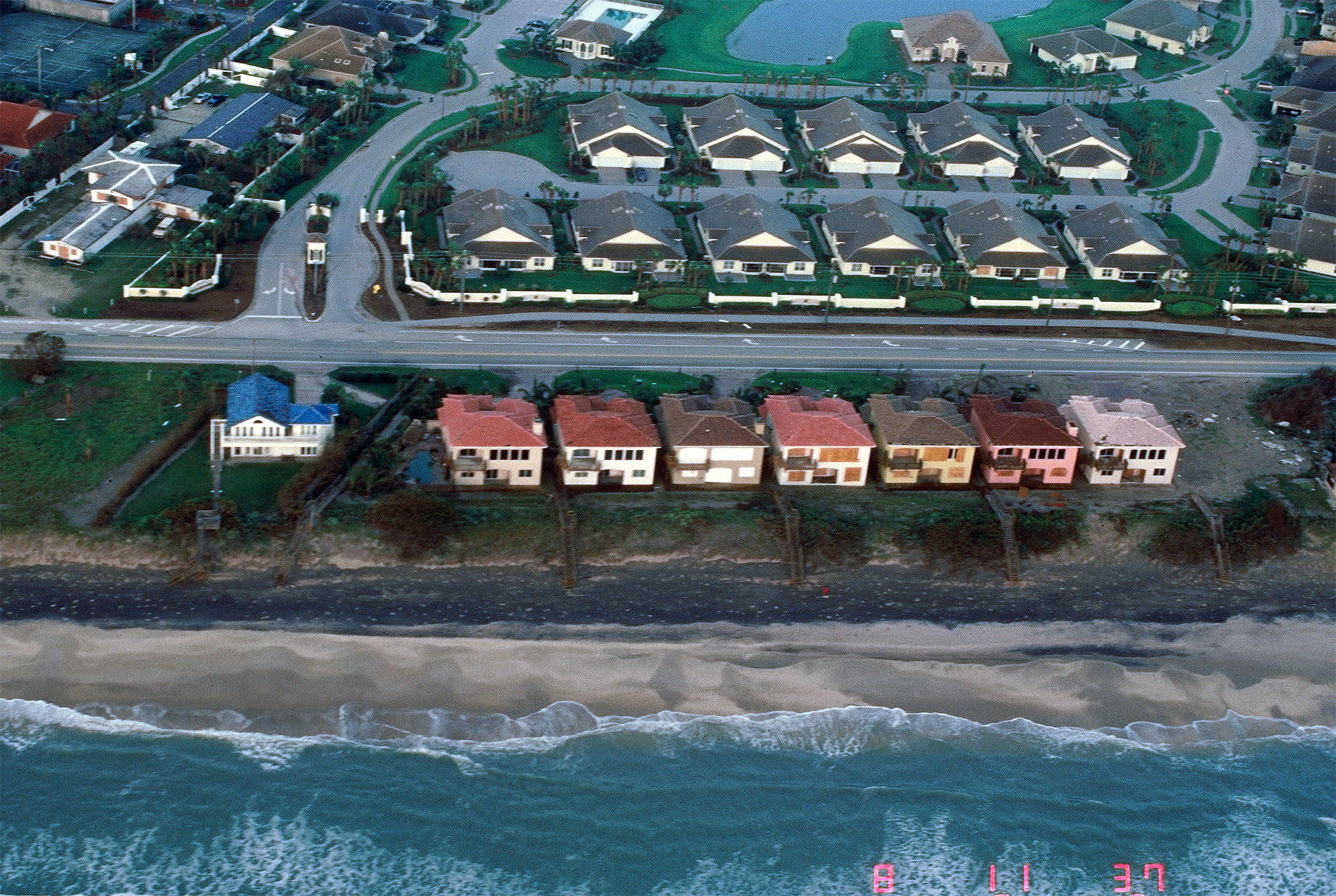
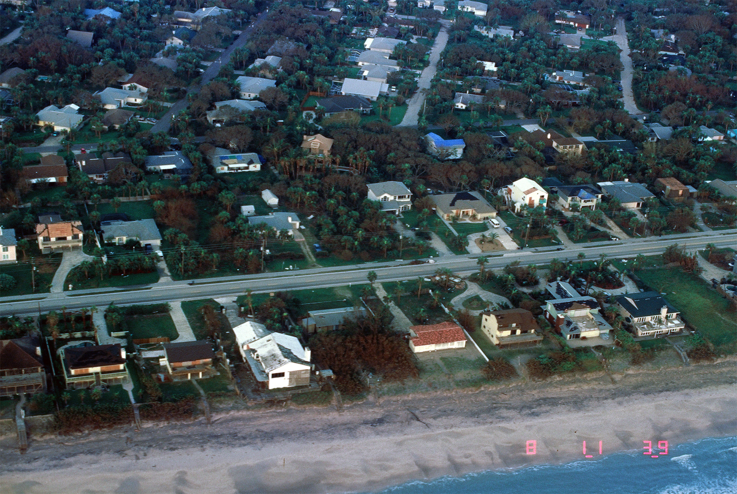
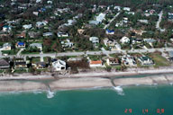
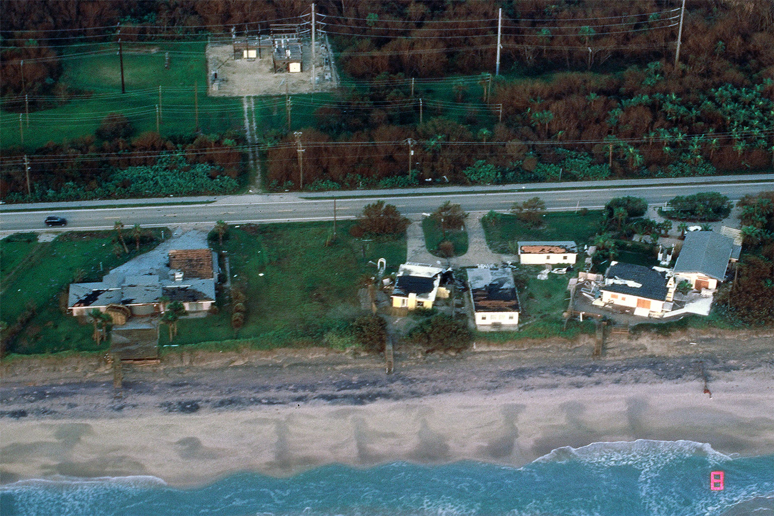
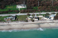
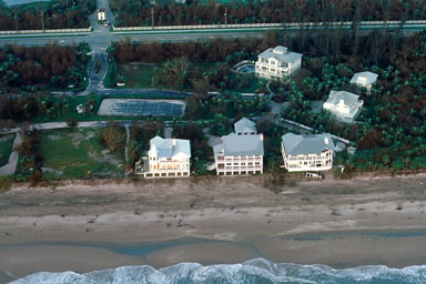
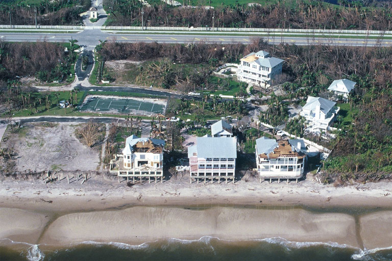
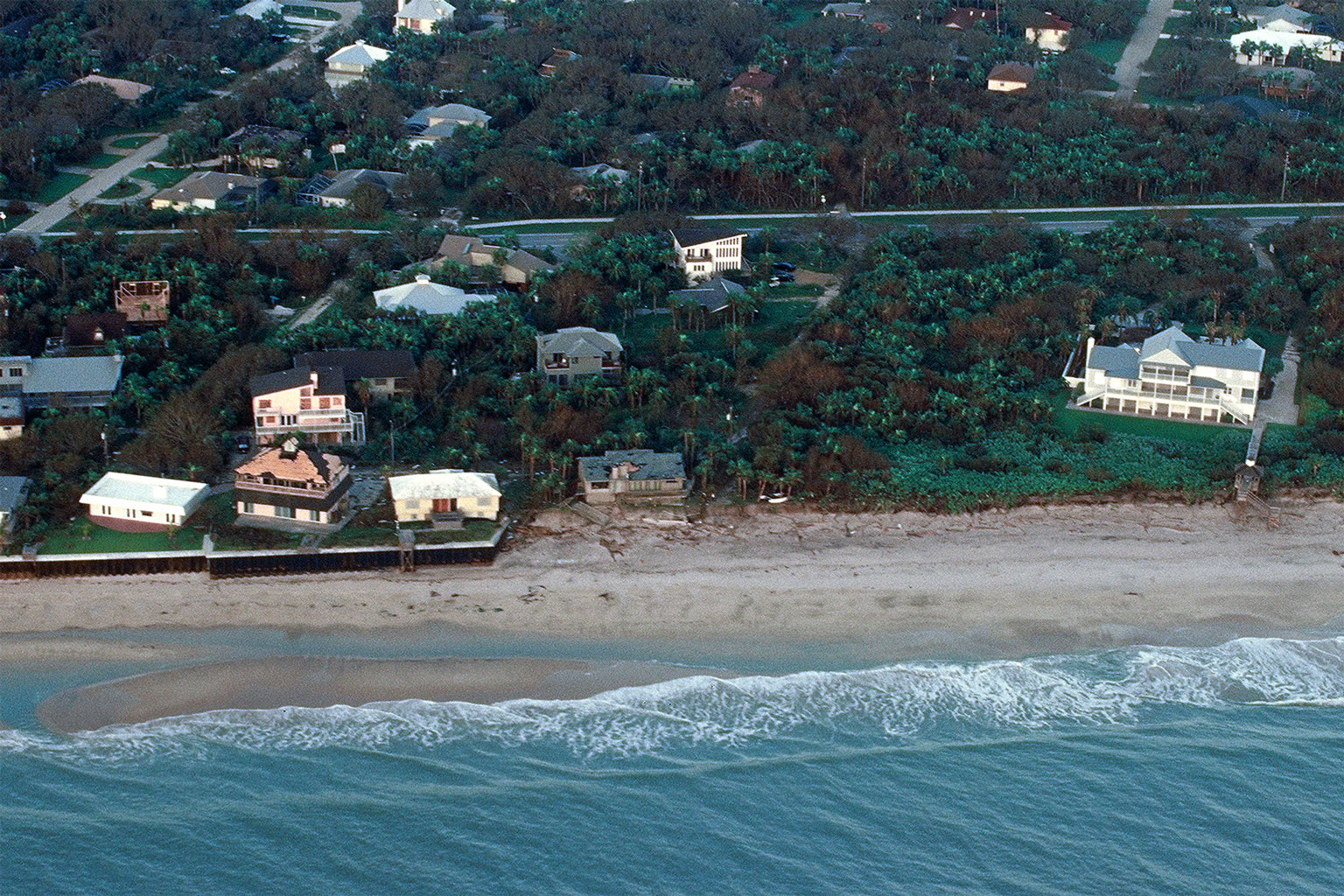
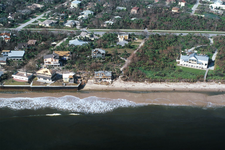
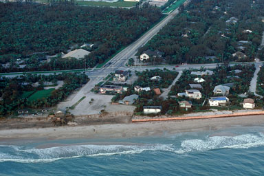
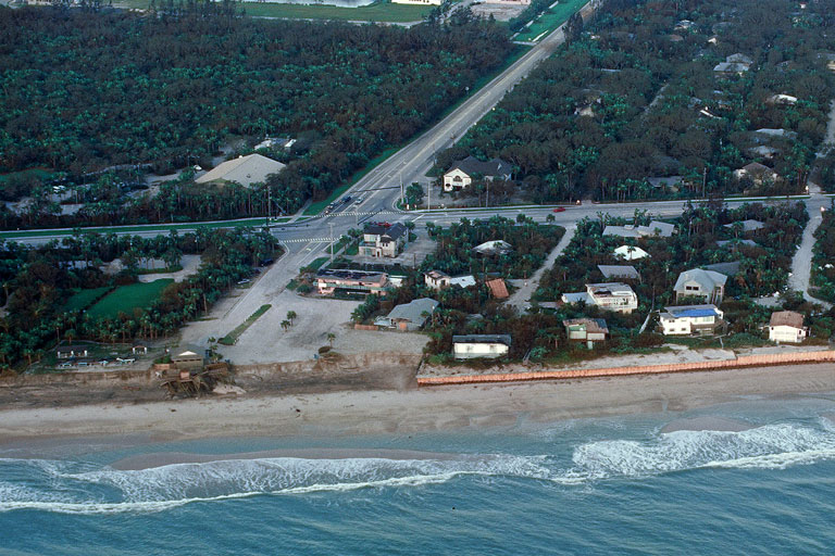
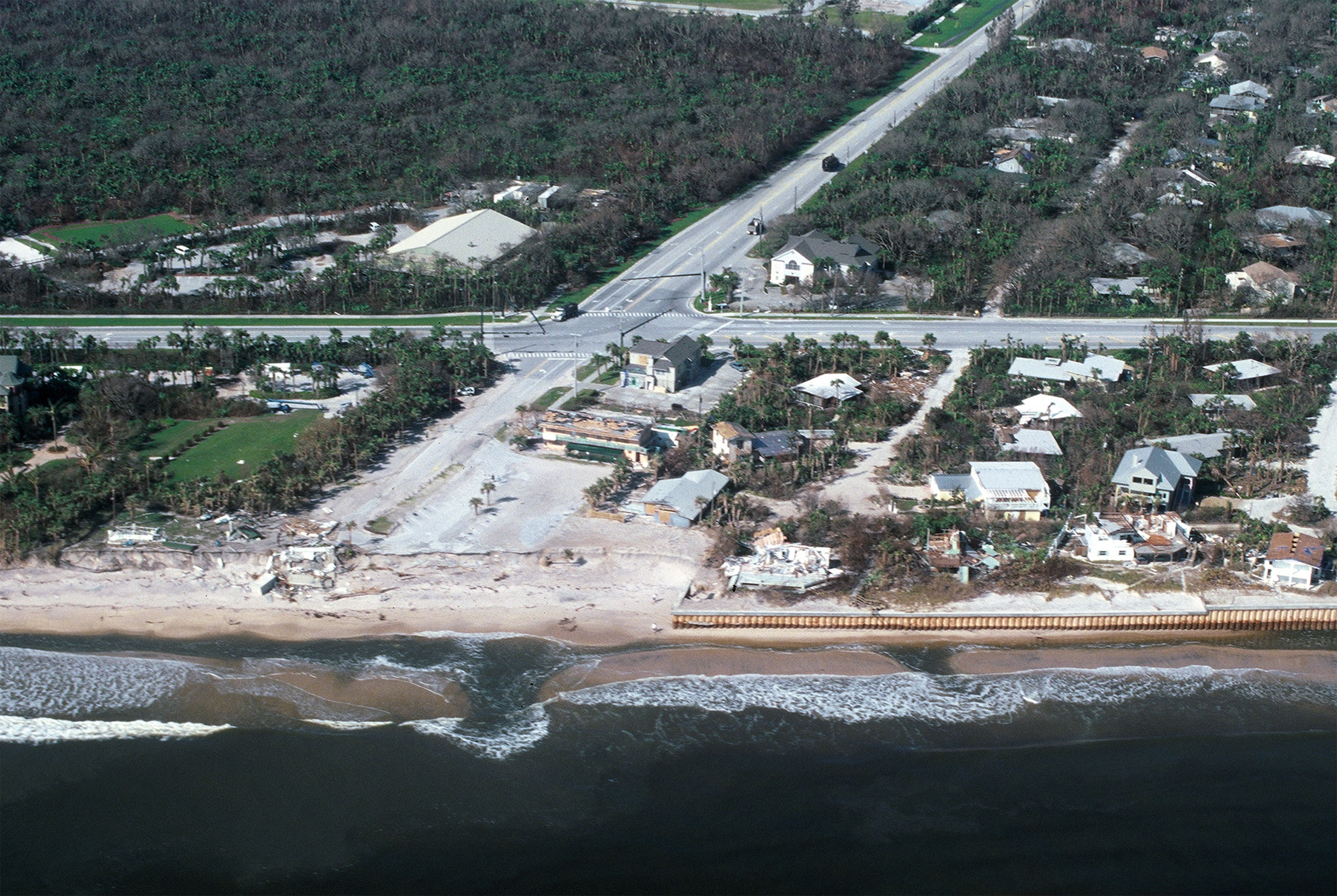
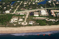
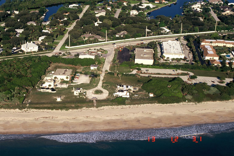
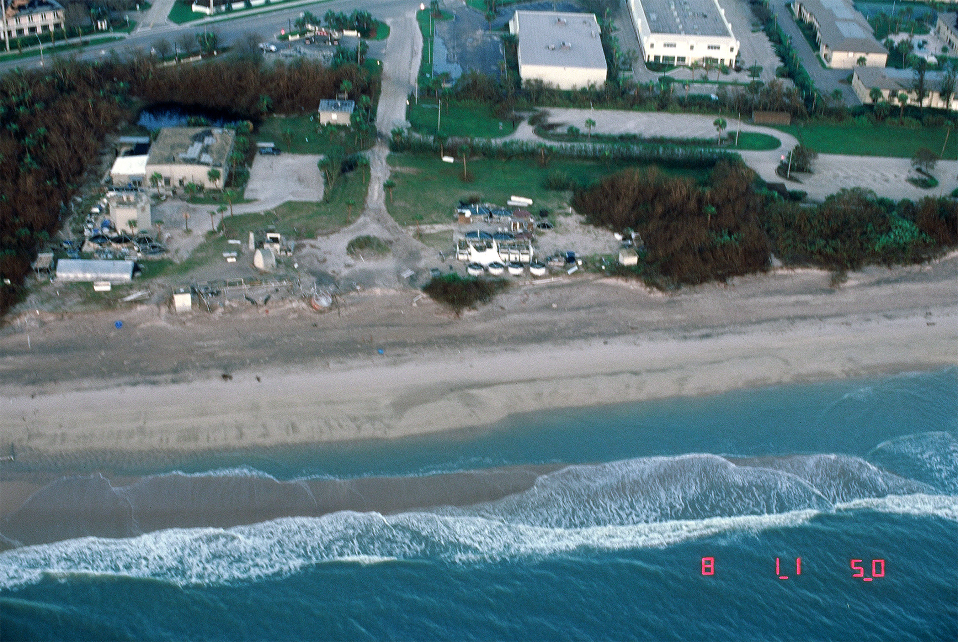
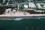
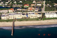
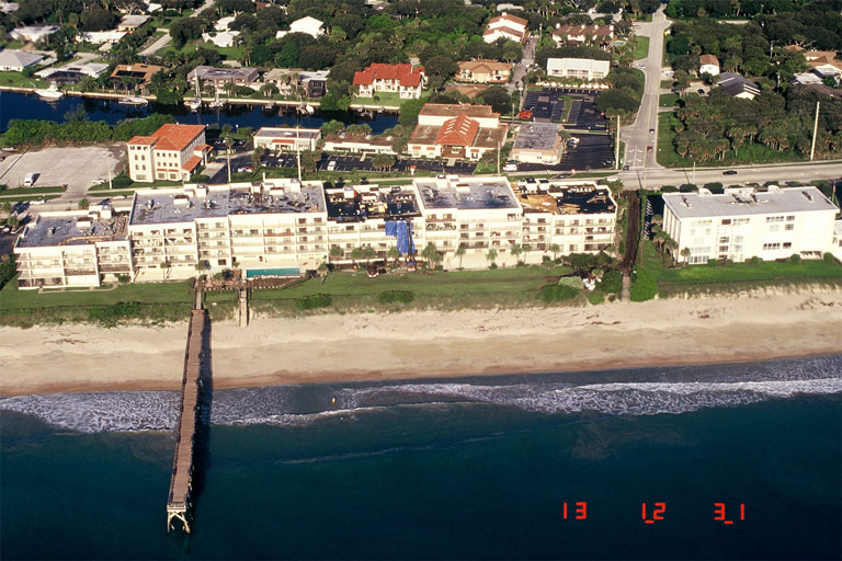
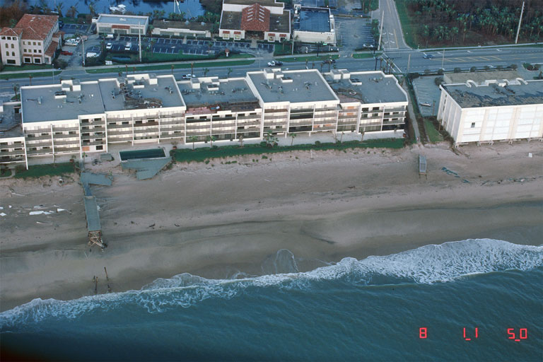
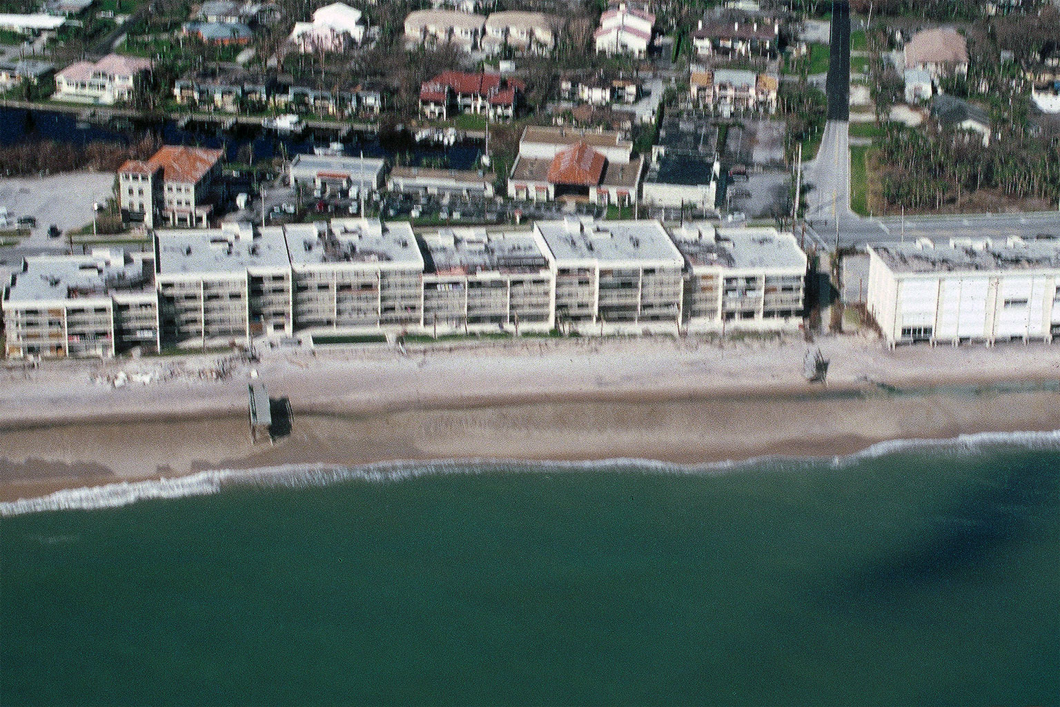
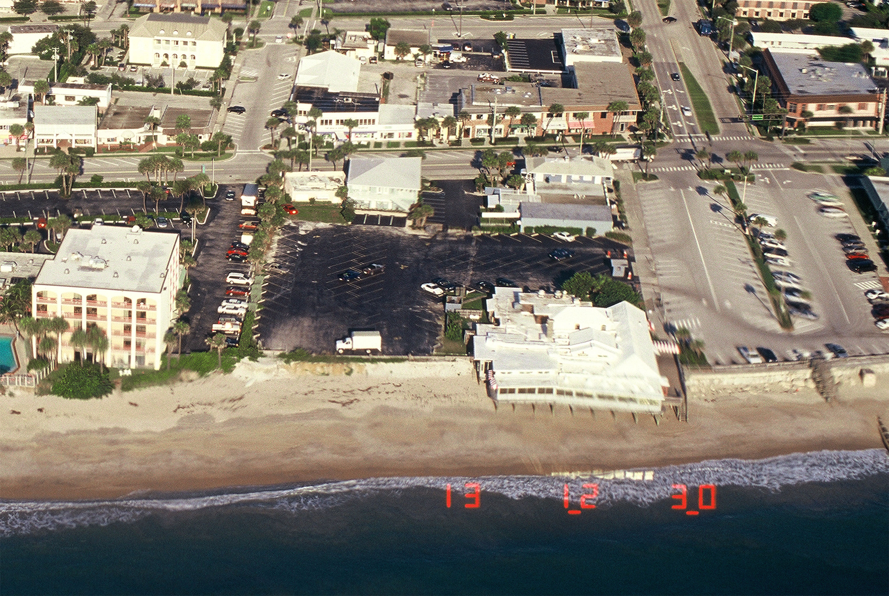
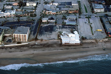
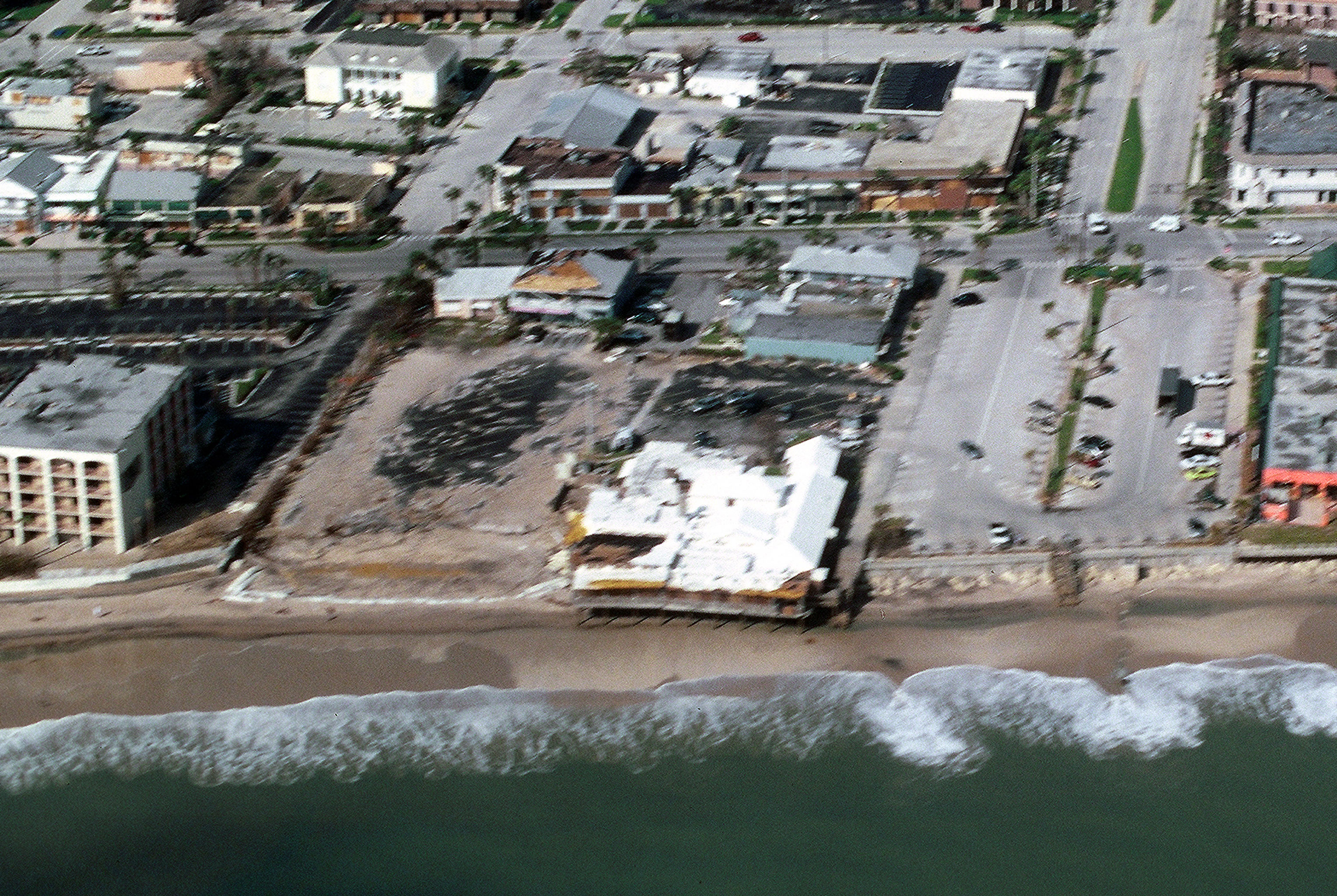
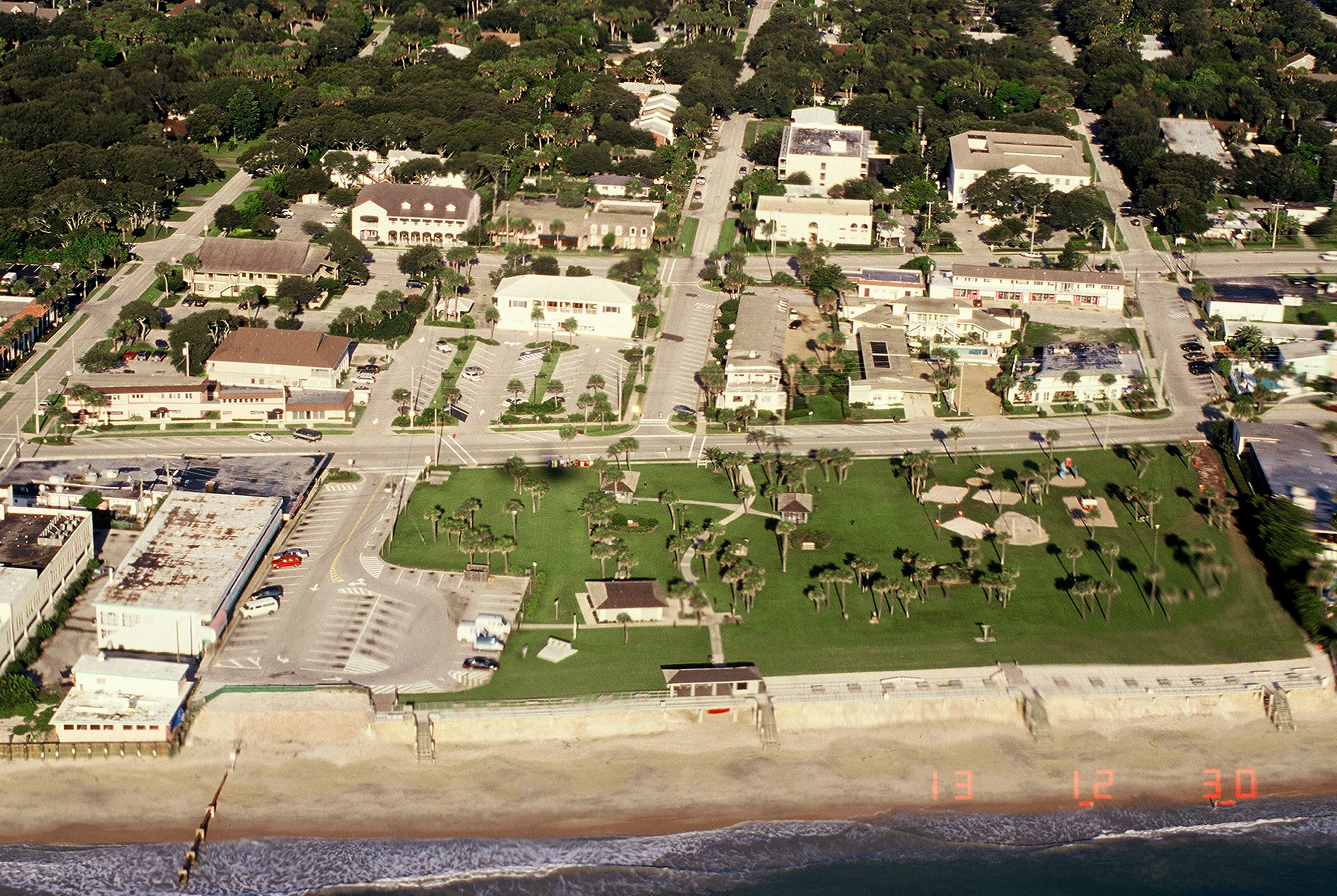
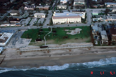
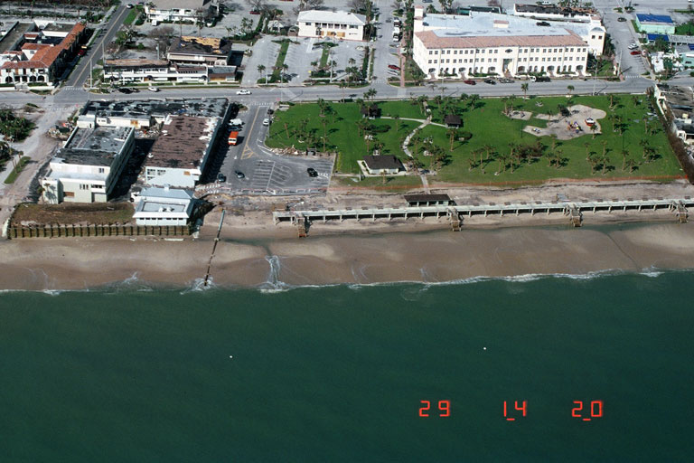
Coastal Change Hazards: Hurricanes and Extreme Storms > Hurricane Jeanne
Coastal Change Hazards: Hurricanes and Extreme Storms
|
|
|||||||||||||||||||||||||||||||||||||||||||||||||||||||||||||||||||||||||||||||||||||||||||||||||||||||||||||||||||||||||||||||||||||||||||||||||||||||||||||||||||||||||||||||||||||||||||||||||||||||||||||||||||||||||||||||
Center for Coastal and Watershed Studies > Coastal Change Hazards: Hurricanes and Extreme Storms > Hurricane Jeanne

![]() U.S. Department of the Interior |
U.S. Geological Survey
U.S. Department of the Interior |
U.S. Geological Survey
URL: http://coastal.er.usgs.gov
Page Contact Information: Feedback
Page Last Modified: (JSS)


