
To compare current drought conditions with last week’s map, click here.
Visit the NDMC Photo Gallery to see photos of drought conditions in California, Georgia, South Carolina, and other states. If you have photos showing drought conditions, please consider submitting them to the Photo Gallery. The data cutoff for Drought Monitor maps is Tuesday at 7 a.m. Eastern Standard Time. The maps, which are based on analysis of the data, are released each Thursday at 8:30 a.m. Eastern Time. NOTE: To view regional drought conditions, click on map below. State maps can be accessed from regional maps. |
To compare current drought conditions with last week’s map, click here. |
| To view tabular statistics of this week's Drought Monitor, click here. | To view tabular statistics for the Drought Monitor archive, click here. |
| To view Drought Monitor Change Maps, click here. |
NDMC's Drought Impact Reporter |
6-week animation |
12-week animation |
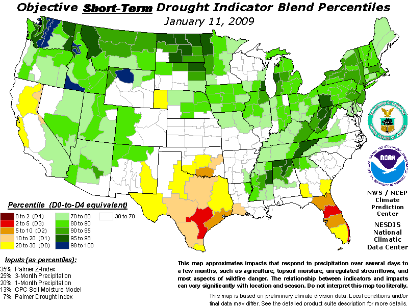
short-term drought indicator blends |
long-term drought indicator blends |
 |
 |
 |
 |
 |
| For a .pdf version of the Drought Monitor, click here. |
| For more information on the Drought Impact Reporter click here. |
| For annual animations of the Drought Monitor click here. |
| For more information on the above experimental drought blends, see http://www.cpc.ncep.noaa.gov/products/predictions/tools/edb/droughtblend-access-page.html#exp. |
| The drought indicators that are synthesized into the Drought Monitor map are on this website, under Forecasts and Current Conditions. |
| This summary map is based on a multi-index drought classification scheme. |
| For local details and impacts, please contact your State Climatologist or Regional Climate Center. |
| Free Online Sources of Historical Weather Data |
| Contact People |
| North American Drought Monitor |
| The discussion in the Looking Ahead section is simply a description of what the official national guidance from the National Weather Service (NWS) National Centers for Environmental Prediction is depicting for current areas of dryness and drought. The NWS forecast products utilized include the HPC 5-day QPF and 5-day Mean Temperature progs, the 6-10 Day Outlooks of Temperature and Precipitation Probability, and the 8-14 Day Outlooks of Temperature and Precipitation Probability, valid as of late Wednesday afternoon of the USDM release week. The NWS forecast web page used for this section is: http://www.cpc.ncep.noaa.gov/products/forecasts/. The Midwest: Moderate to heavy rains were recorded in the past week over much of the region. Kentucky had most of the state recording 3-4 inches over the most intense drought regions. D2 and D1 were improved over Kentucky while D0 was improved in southern Indiana and into Ohio. The D0 over extreme southeast Missouri was eliminated and pushed to the east toward Kentucky. The Southeast: Continued dryness over Florida has allowed for the expansion of D1 along the west coast. Streamflows are running in the lowest 10th percentile in many locations. D0 was expanded into southwest Alabama as this area has missed out on much of the recent precipitation. In Tennessee, D0 and D1 were improved in central portions of the state and D2 was improved in eastern Tennessee along the North Carolina border. The recent moisture in the region has allowed many of the short-term indicators to improve, but some of the reservoir levels and streamflows have been slower to respond, which is why more improvements to the intensification are not warranted at this time. The Plains: Dryness continues to hamper much of Texas, where exceptional drought conditions continue. Without any significant precipitation, conditions are continuing to deteriorate, especially in southern portions of Texas. In areas of eastern and central Oklahoma, a 1-category improvement was made as there was a good overall response to the rains for this time of year. Soil moisture across much of Oklahoma is doing well for this time of year and it should not take much to bring the state back into good shape. The West: An active weather pattern continued for much of the western United States, with many locations recording precipitation in both lower and upper elevation sites. Improvements were made along the California and Oregon border, where D0 and D1 were improved upon. In the Four Corners region and into southwest Colorado, much of the D0 was removed as most locations, on multiple time scales, are showing that the abnormally dry conditions have been eliminated. D1 was eliminated from central Colorado as well. In Montana, D1 was improved in the southwest portion of the state as well. Looking Ahead: During the next 5 days (December 31-January 4) temperatures should remain below normal over the northern Plains, Great Lakes and into New England, while much of the country should see temperatures 3-6 degrees Fahrenheit above normal during this time. At the end of this period, the Pacific Northwest will be impacted by the next big weather system as it comes ashore bringing rain and snow. The Mississippi Valley as well as the northern tier of the United States should also experience some precipitation associated with a series of short waves going through the respective areas. The National Weather Service 6- to 10-day outlook for January 5-9 shows a chance for cooler than normal conditions over the western United States and Alaska. Precipitation is expected over much of the eastern United States, with the chances for the greatest amounts over the Mid Atlantic region. The best chances for below-normal precipitation can be expected over Alaska, California and Nevada. |
| Dryness Categories |
| D0 ... Abnormally Dry ... used for areas showing dryness but not yet in drought, or for areas recovering from drought.
Updated December 30, 2008 |
|
|
)